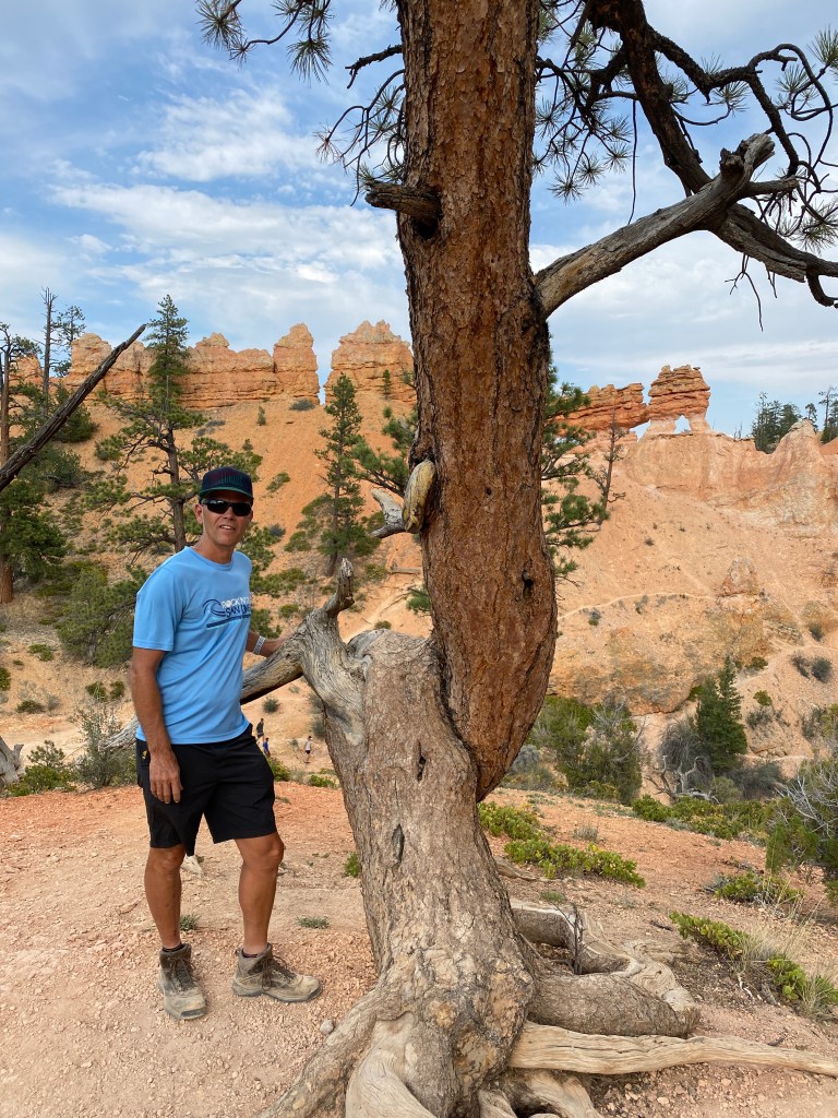
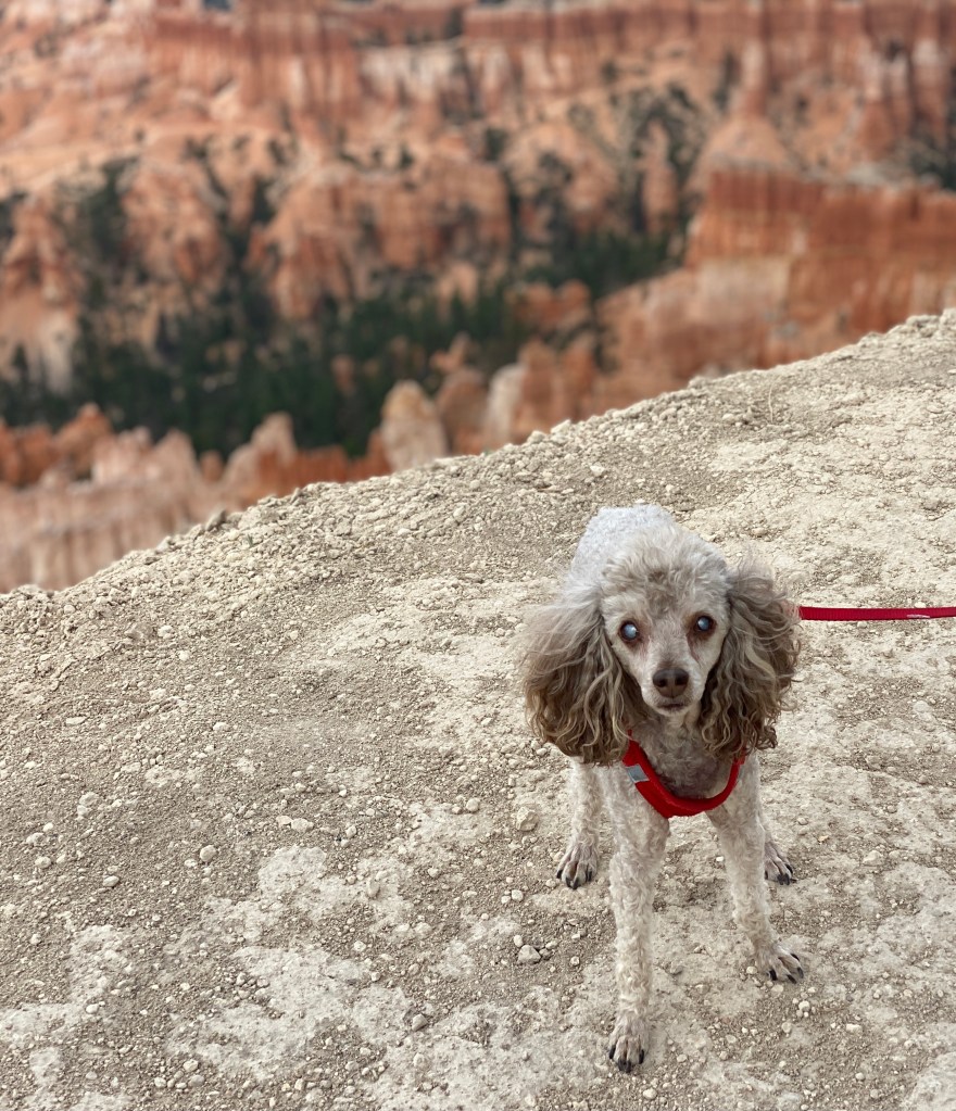
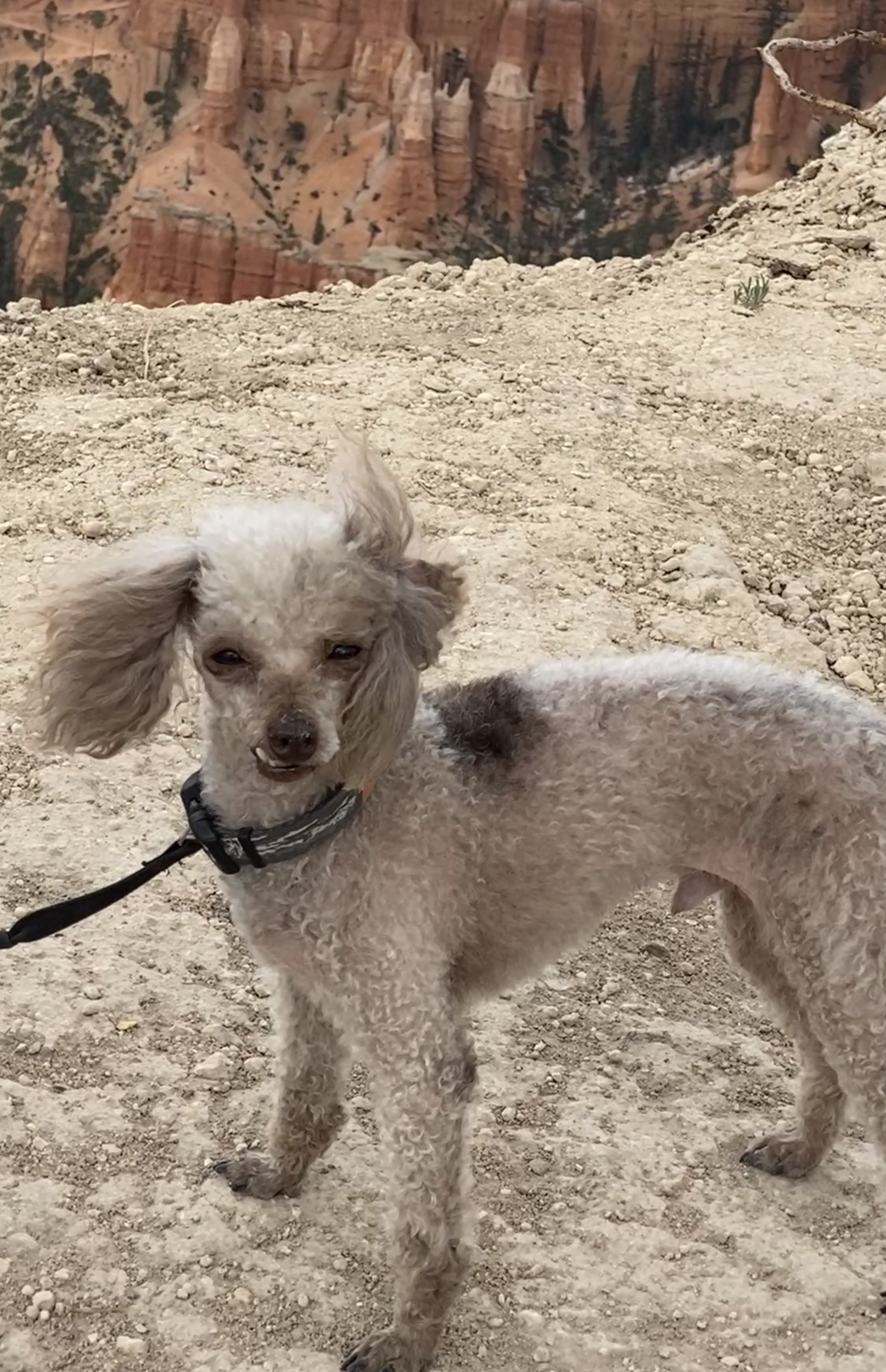
Our nation has some incredible national parks and Bryce Canyon ranks up there as one of the most unique and naturally beautiful that we’ve visited so far. Punctuated by hoodoos, massive, beautifully-colored stone columns sculpted from thousands of years of erosion, Bryce in places reminded us of the man-madeTerra Cotta warriors we saw in China. Lined up one after the other, the fluted walls can be seen from the roadside but are best explored on foot. We did both.


First we drove the length of the park using this cool app called Just Ahead, which provides GPS-guided audio narration that plays automatically as you travel down the road. We’ve used this tool before, and it really helps provide an introduction to the park and its history.

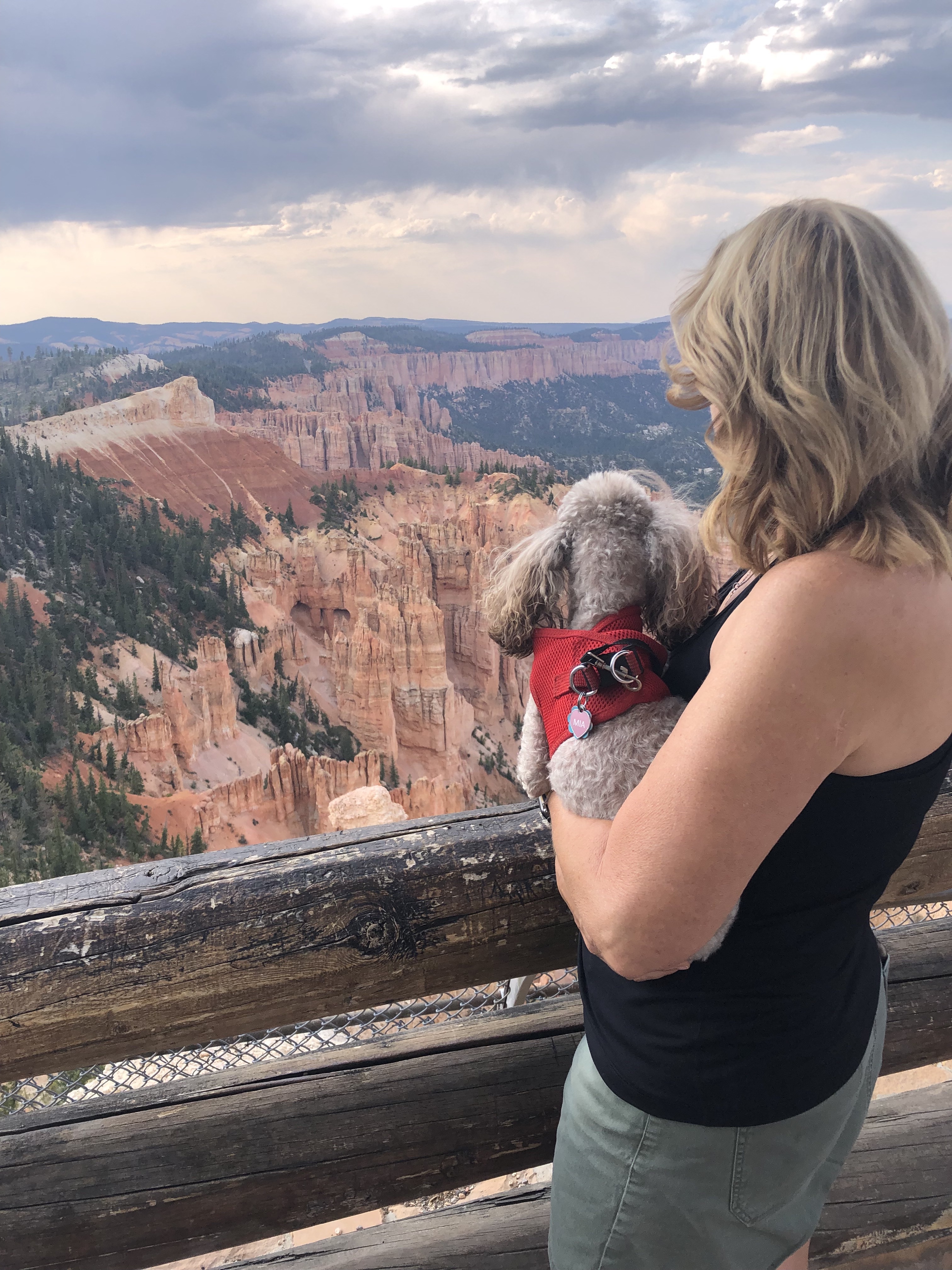
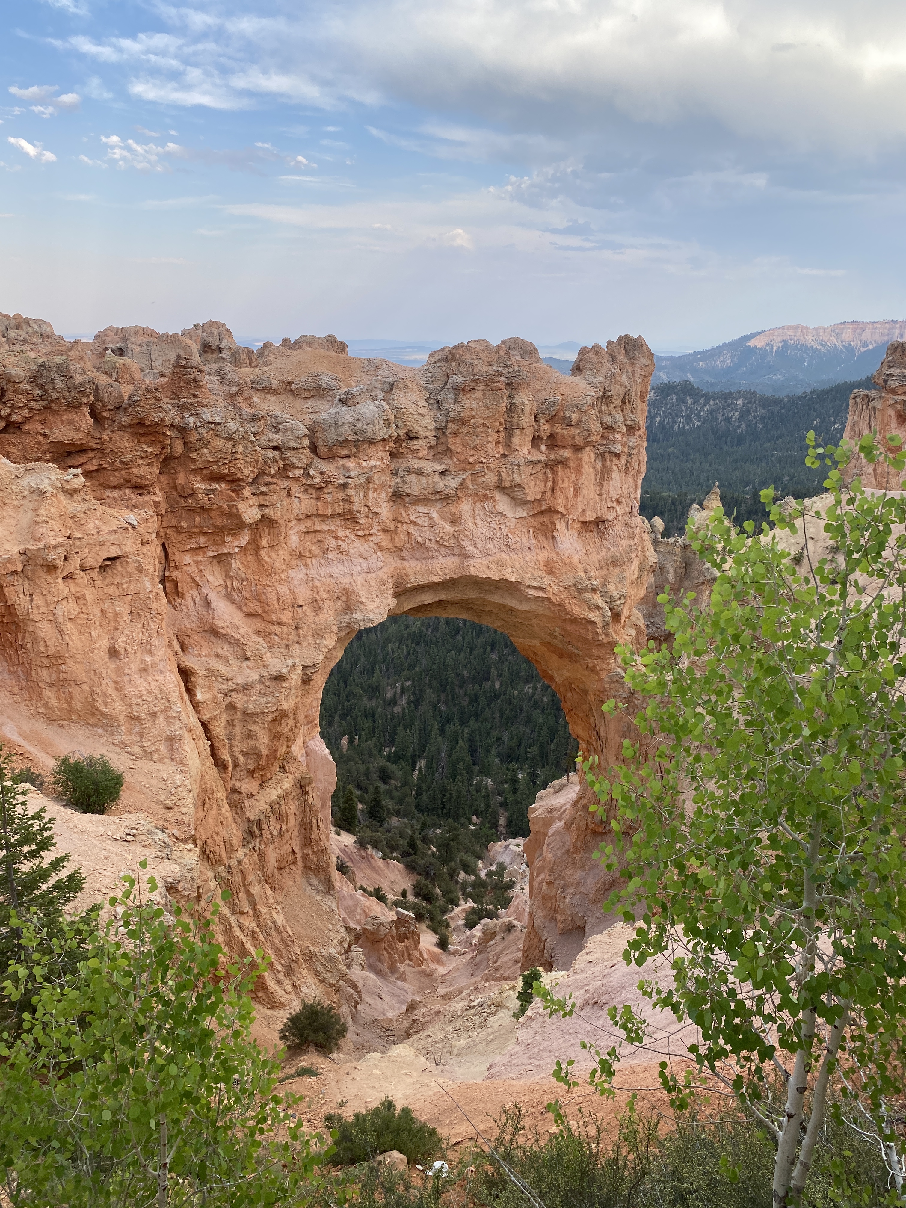
From Rainbow Point in the south we worked our way back north stopping at ten overlooks along the way. Each viewpoint was different from the last. One included a massive stone arch; another provided sweeping views all the way to the north rim of the Grand Canyon. The drive was a great way to get oriented to the park, and it helped us plan the next two days.

The next morning we were in the park by 6:00 a.m. in an attempt to avoid the heat and the crowds. We succeeded and were rewarded with a spectacular sunrise and cooler weather.


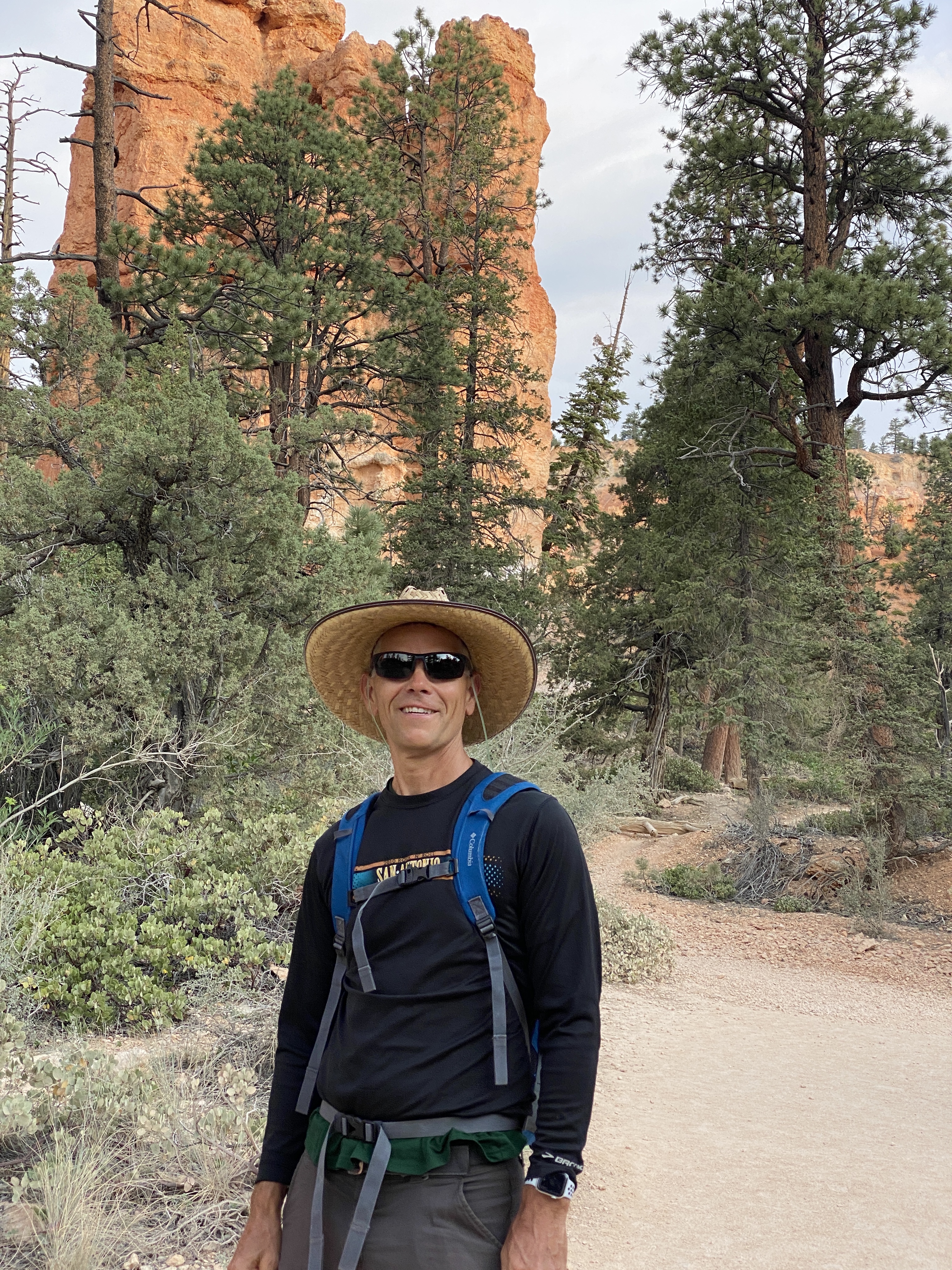
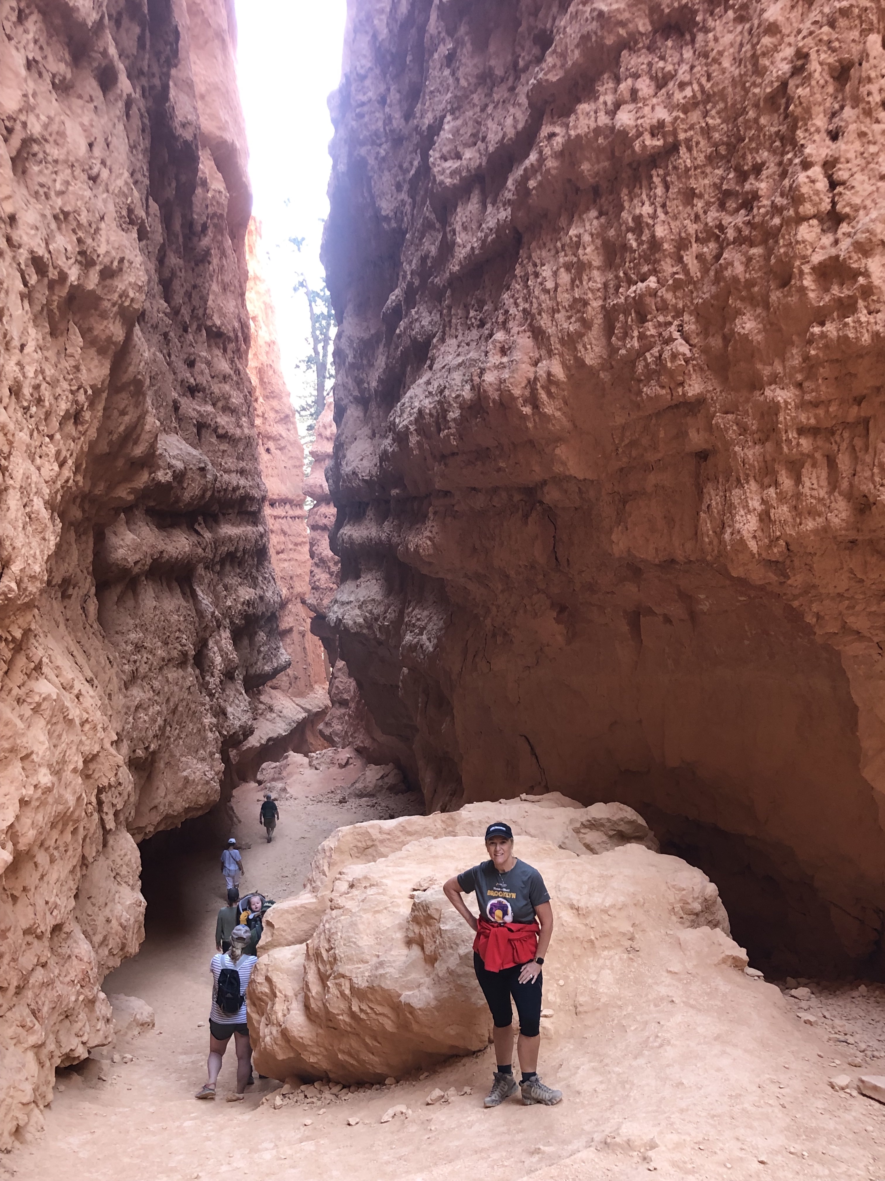
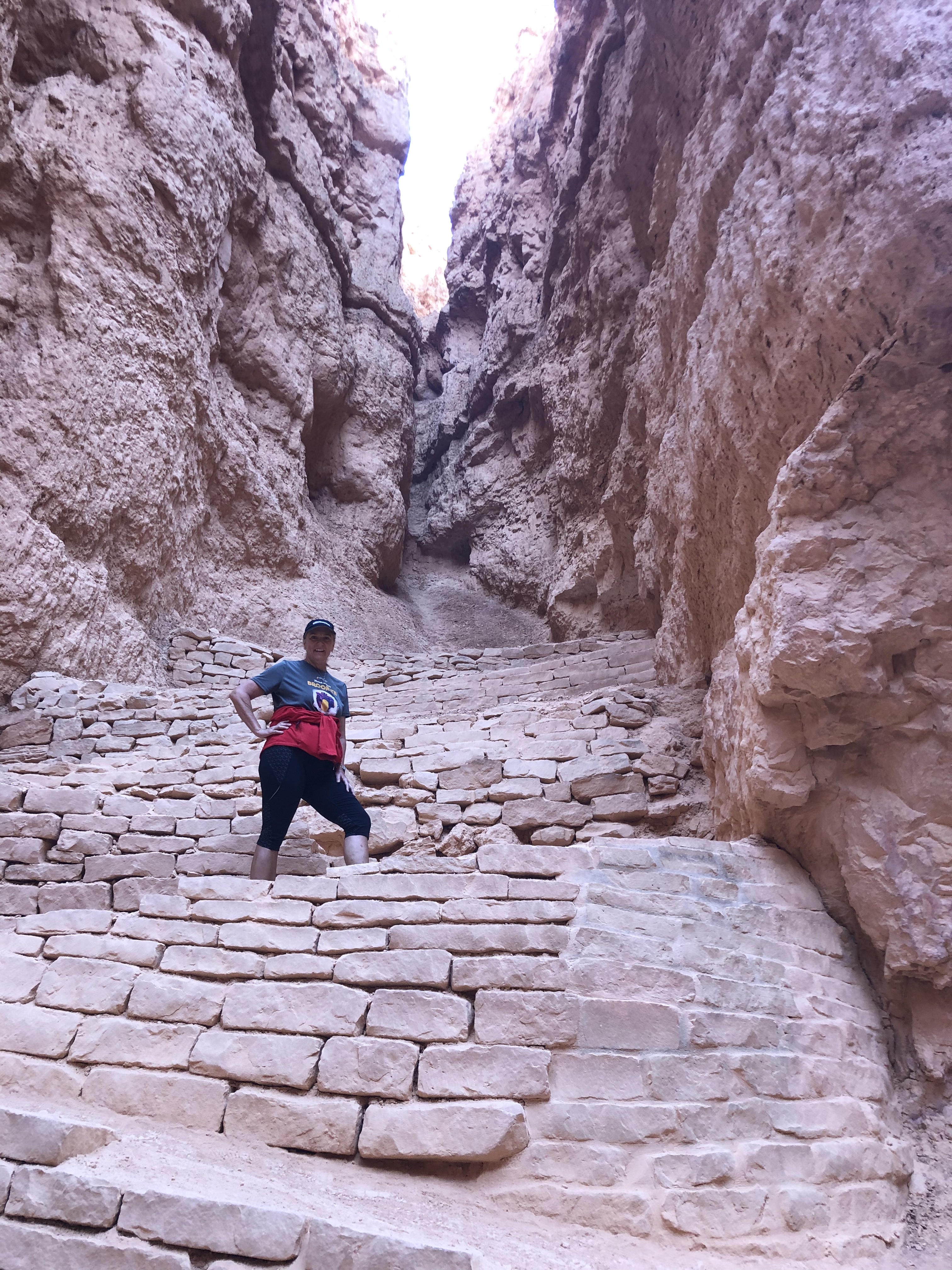
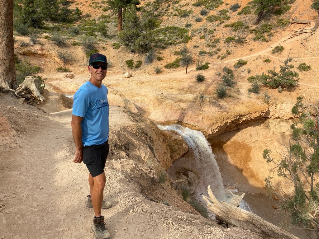
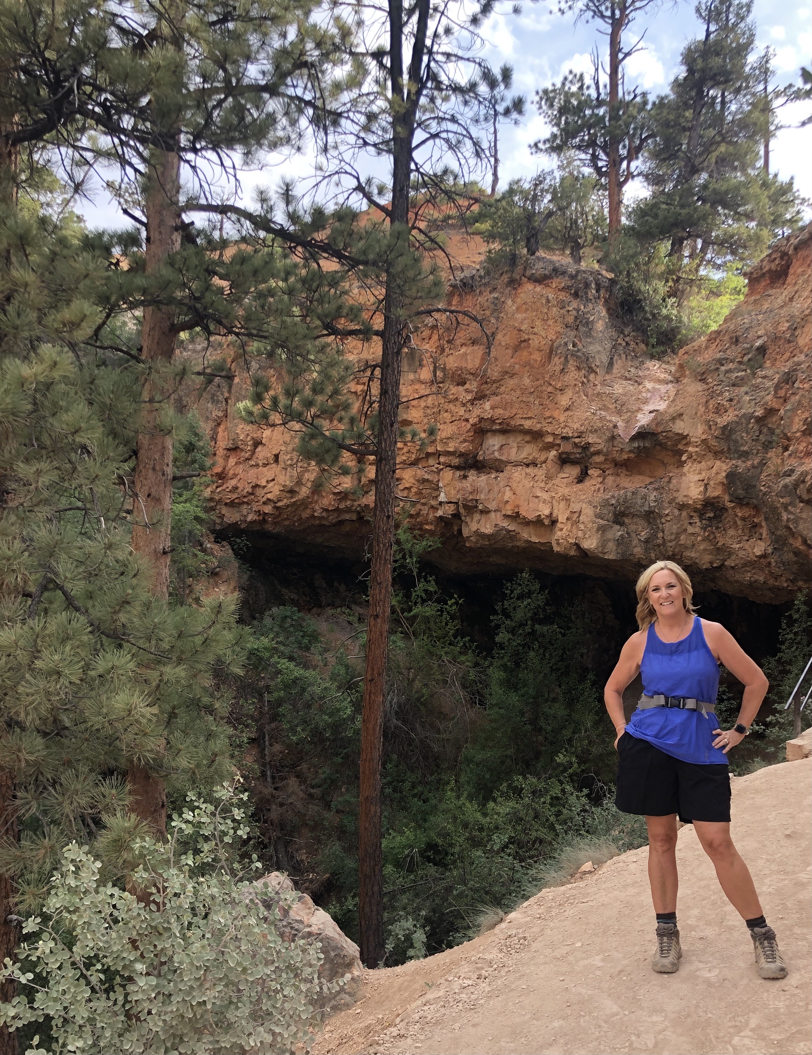
The premier hike in Bryce Canyon National Park is the Queens Garden/Navajo Loop Trail. The three mile walk took us through massive hoodoo “forests,” stone arches, and snaking switchbacks which provided incredible views of the landscape.


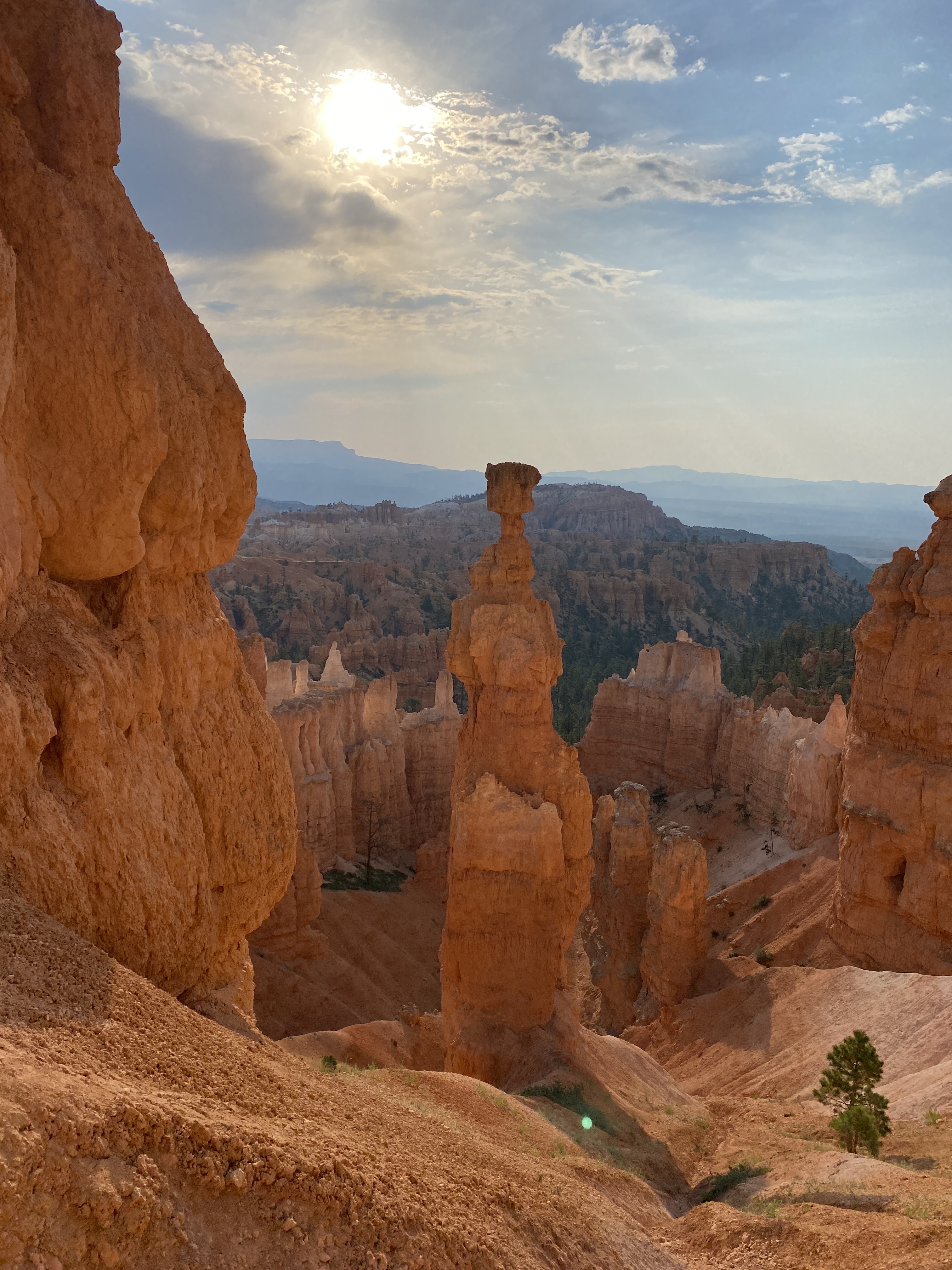
The hike culminates in the climb up Wall Street, a steep, narrow canyon which has been fortified with stones to support the trail. It’s a popular spot in the park, so we were glad to get in and out relatively early.


Even though it was very dry we found water at Mossy Cave. The short hike to small waterfall featured a large cave that is covered with icicles in the winter. No ice this time of year, however. In fact, many people were playing in the water. We skipped that.
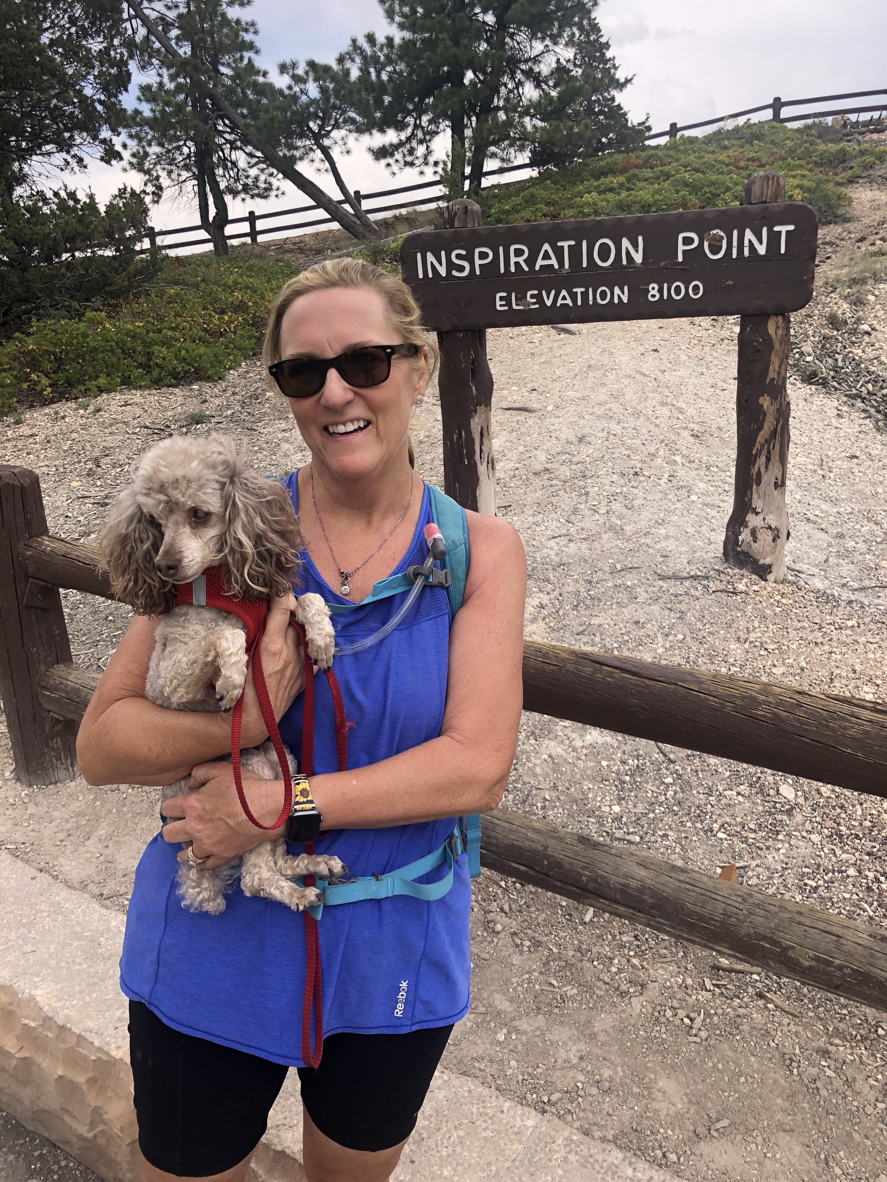
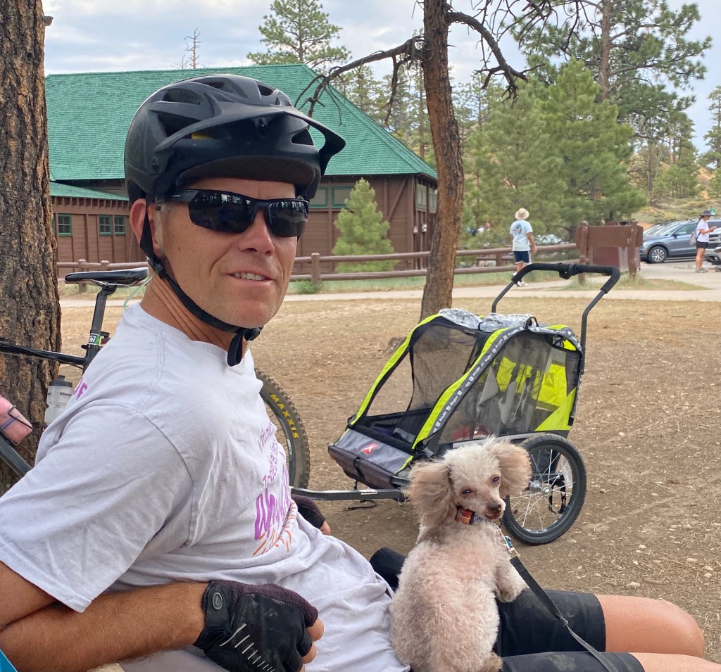
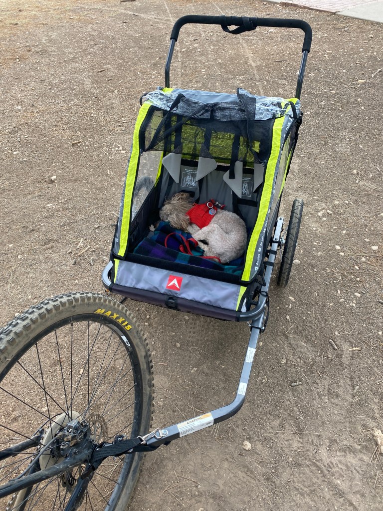
One of the most appealing features in Bryce Canyon is the five mile shared-use path that runs from outside the park to Inspiration Point. We loaded up the bikes, hitched up the dogs, and pedaled the path through the forest and into the park to see the sights from another perspective.
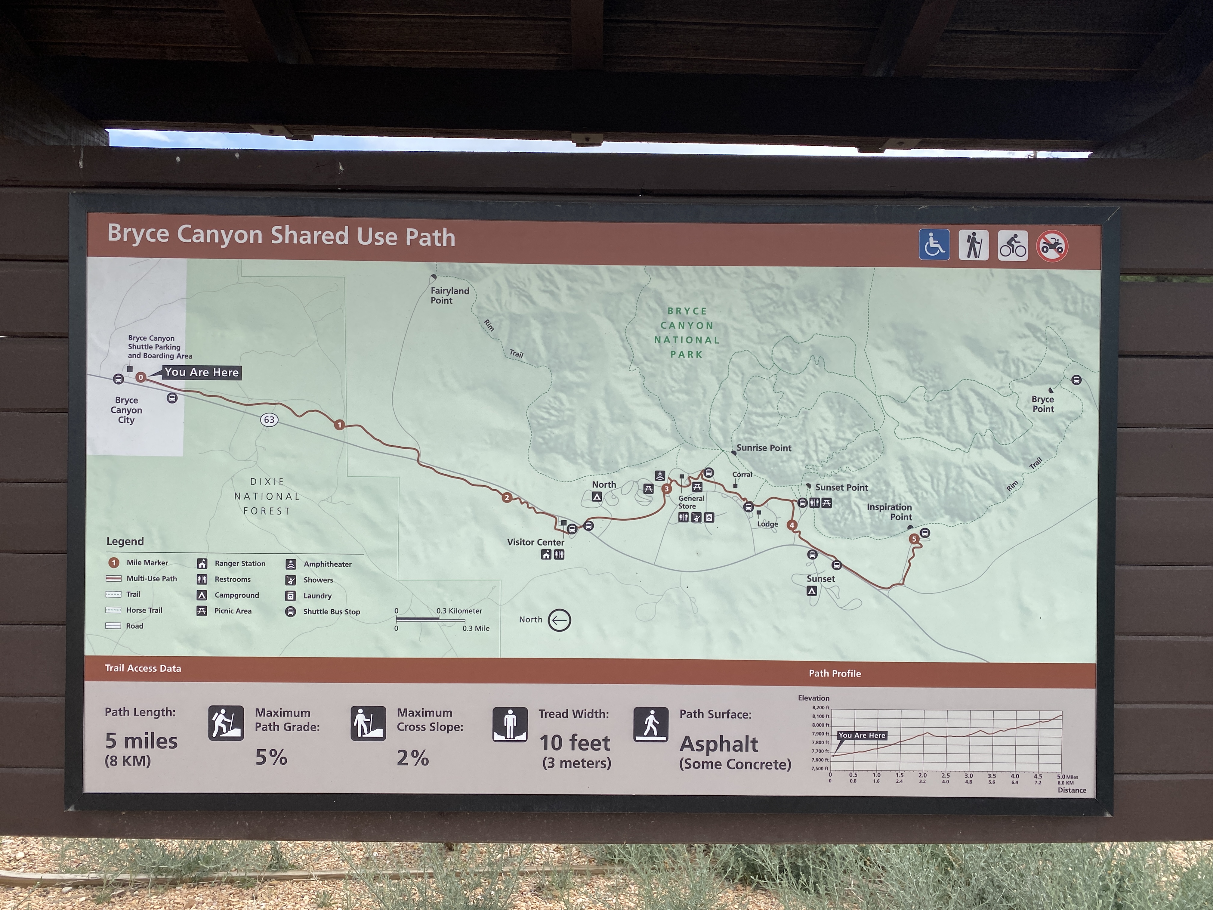
Along the way we could see the canyon rim, the lodge, and other park features. The dogs really seemed to enjoy it. Mia, in fact, slept most of the way!
Bryce Canyon National Park is one not to miss, even though it’s not massive. You can probably do the park in a day or two, but don’t rush. The incredible views change with the time of day and with the weather. That’s why we hope to return during a different season to see it again.


 We took a day to explore the highlights of
  We entered the park from the north where we are staying for a few days. The
  To explore the National Park we followed the advice of Michael Joseph Oswald who wrote the book


 We drove the 33 mile rim trail and stopped at all the highlights. There are waterfalls, overlooks and sweeping views.
  One side road took us to the Pinnacles, unique formations of pumice spires, created by erosion along a steep-sided canyon. Some of the cones are especially tall, tapering to a sharp point. Super cool.
 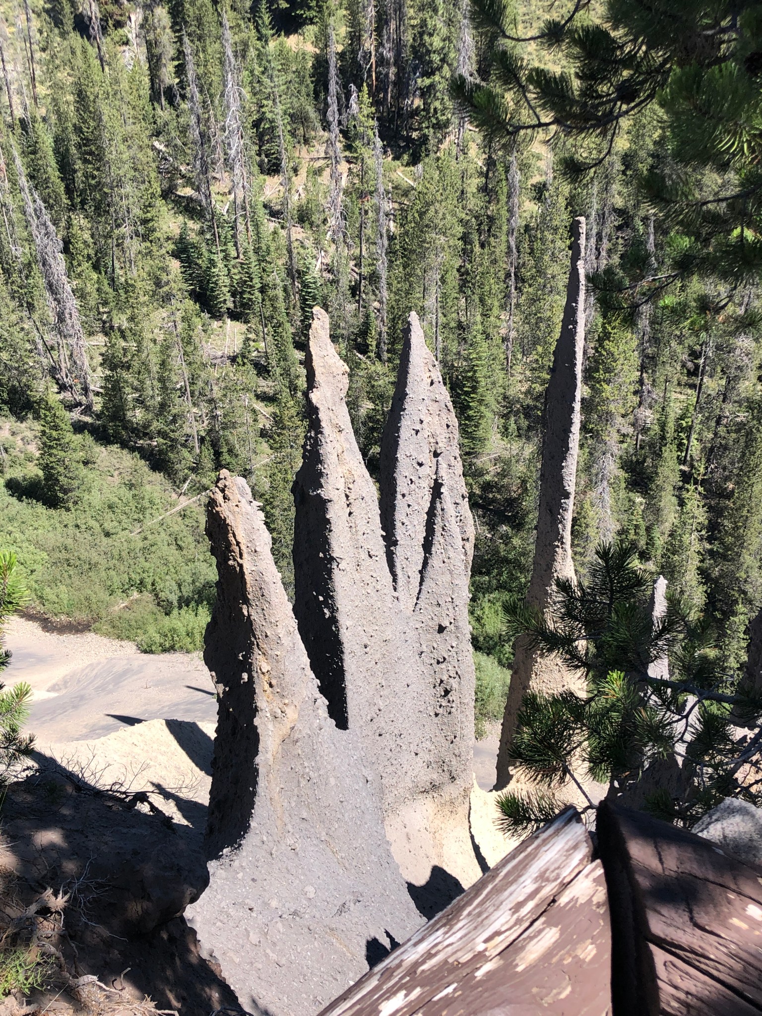 We also did a short hike, the Castle Crest Wildflower Trail, which featured the annual display of wildflowers that inhabit the area. It was only a half-mile trail, which was fine with us injured travelers.


 After leaving Austin earlier than planned on March 18 we headed towards home via Waco, Midland, TX, and Las Cruces, NM.
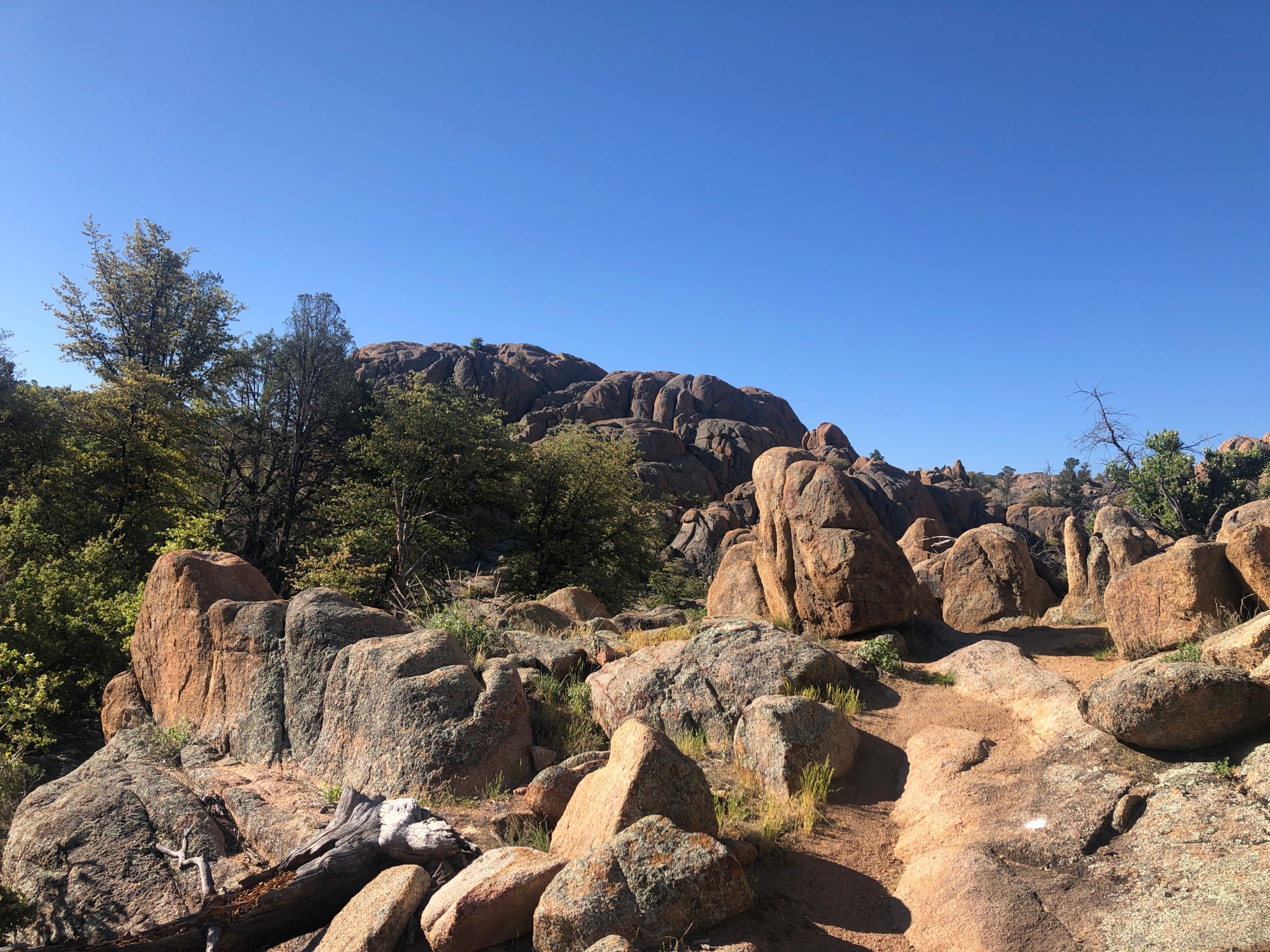 Throughout April we’ve stayed very close to home, venturing out just to go to the grocery store or to get exercise. We can hike the trails right from the house, and we enjoy some of the country’s best mountain bike trails.

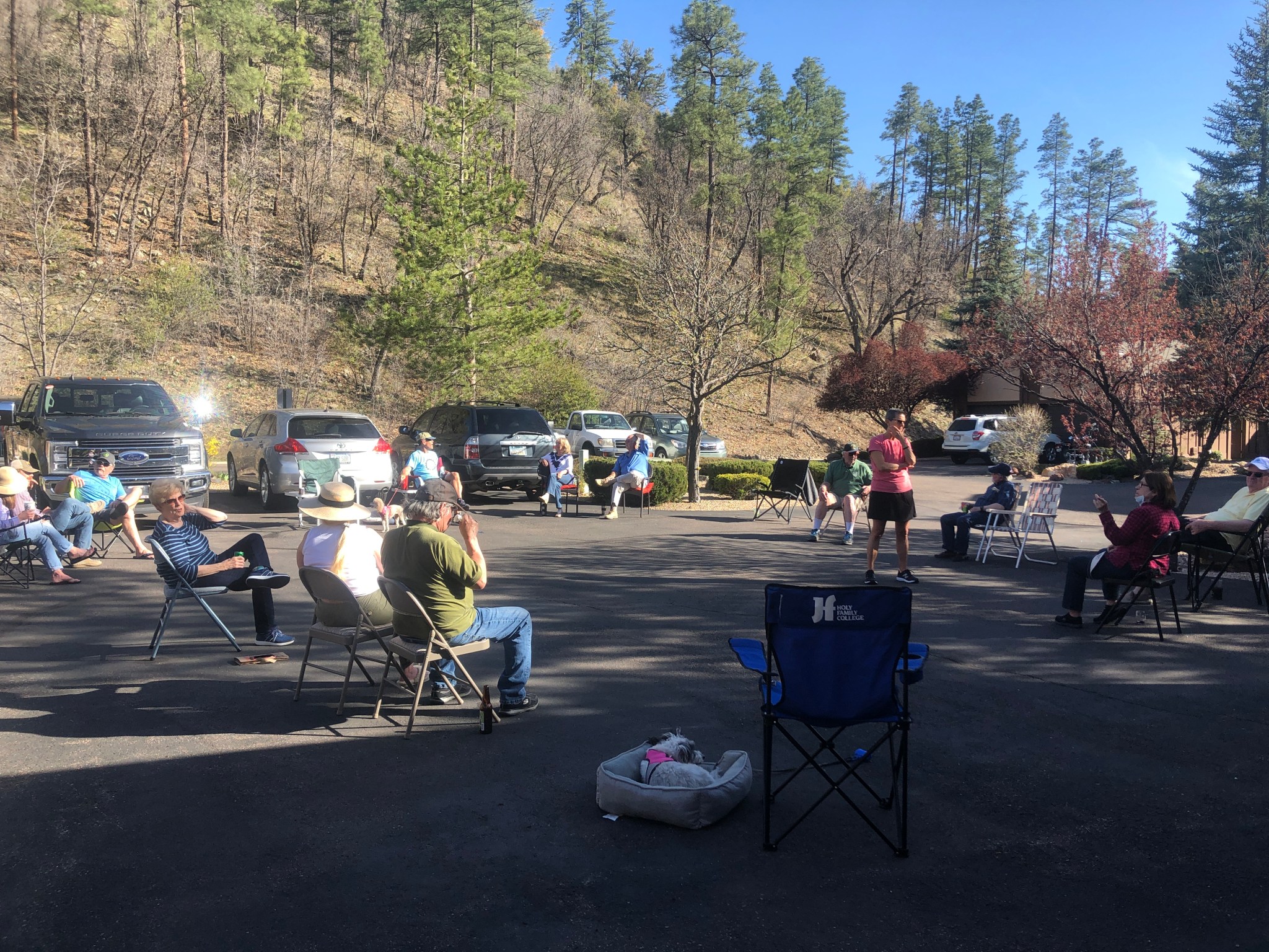 It’s BYOB and chair and it only lasts an hour but it’s a been a great way to stay connected and support one another. We’ve even celebrated birthdays while following the recommended guidelines for safety! It’s been a great time to be in Prescott with beautiful weather and lots of outside time.
 Later this week I’m headed in to have surgery on my foot in hopes that four years of pain while hiking and walking will be addressed. Now that elective surgeries are being done in Arizona, I jumped on the opportunity to get my issues addressed while we are grounded at home. I plan to do a few blog posts here to report on this next adventure.