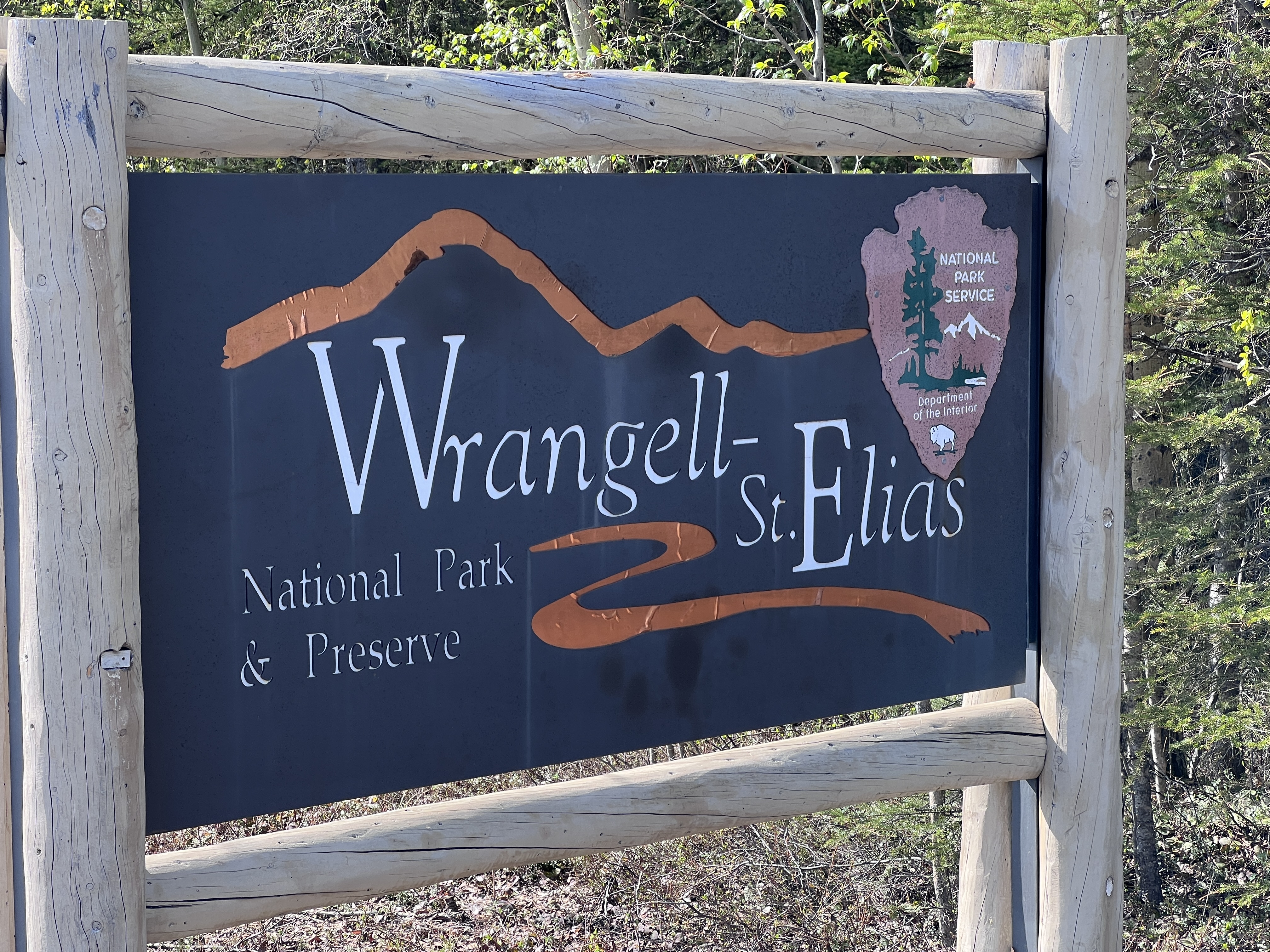
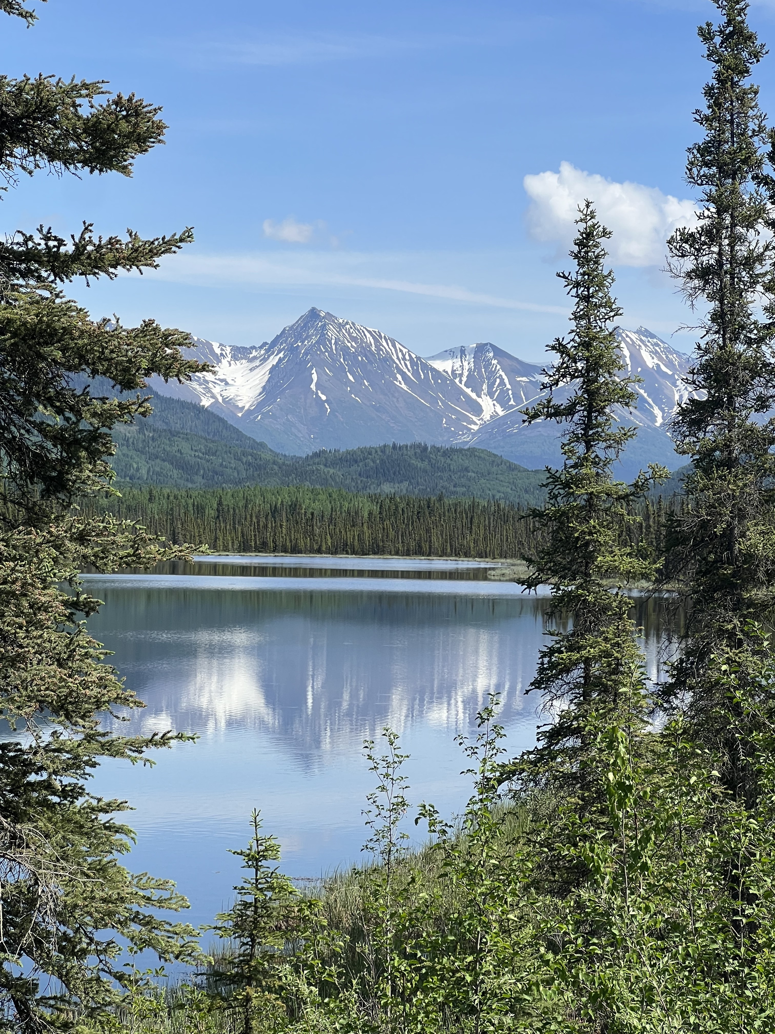
Most people don’t know much about North America’s largest national park. Wrangell St. Elias. Encompassing 20,000 square miles, it’s larger than some states and includes nine of the sixteen highest peaks in the United States. It has the largest concentration of mountains over 14,000 feet, and there are only two roads that allow access to the park. We did them both!

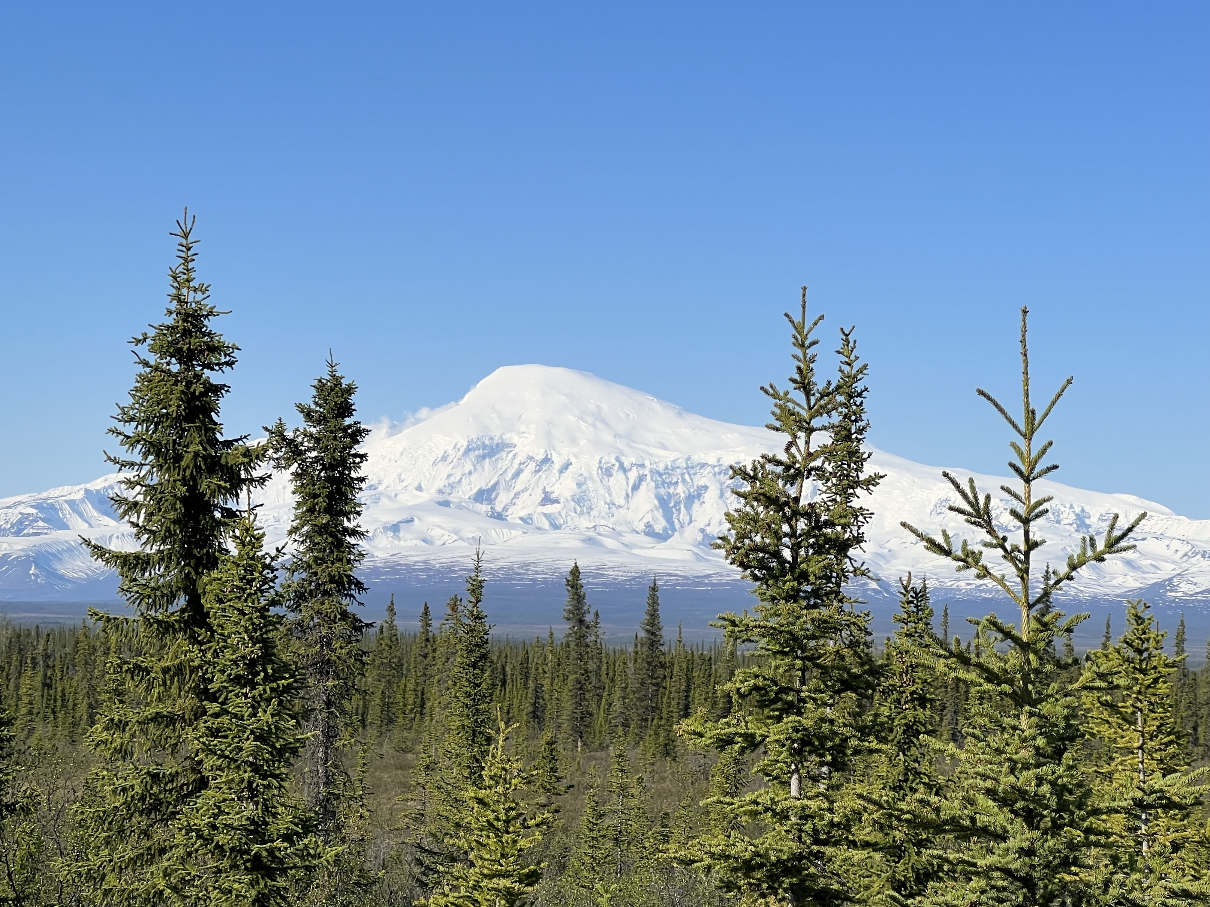
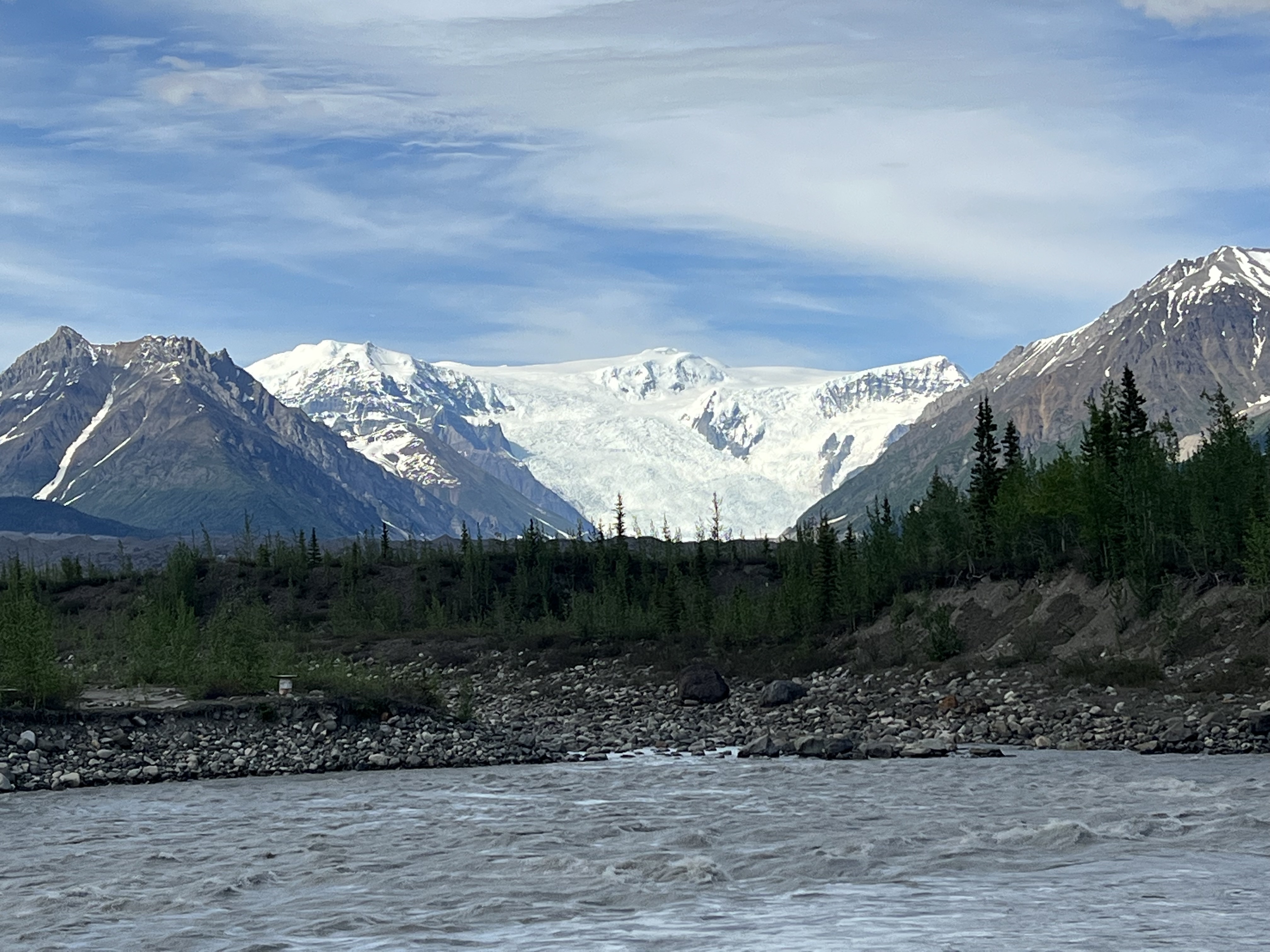
After leaving our friends Russ and Susan, who headed north to Fairbanks, we headed south towards Wrangell St. Elias. Our first peek was via the Nebesna Road. The road leads to an abandoned mine, but the road was closed for flooding after about 20 miles. We opted to use one of the many roadside turnouts as a campsite and enjoyed the view of the Wrangell Mountains across the valley.


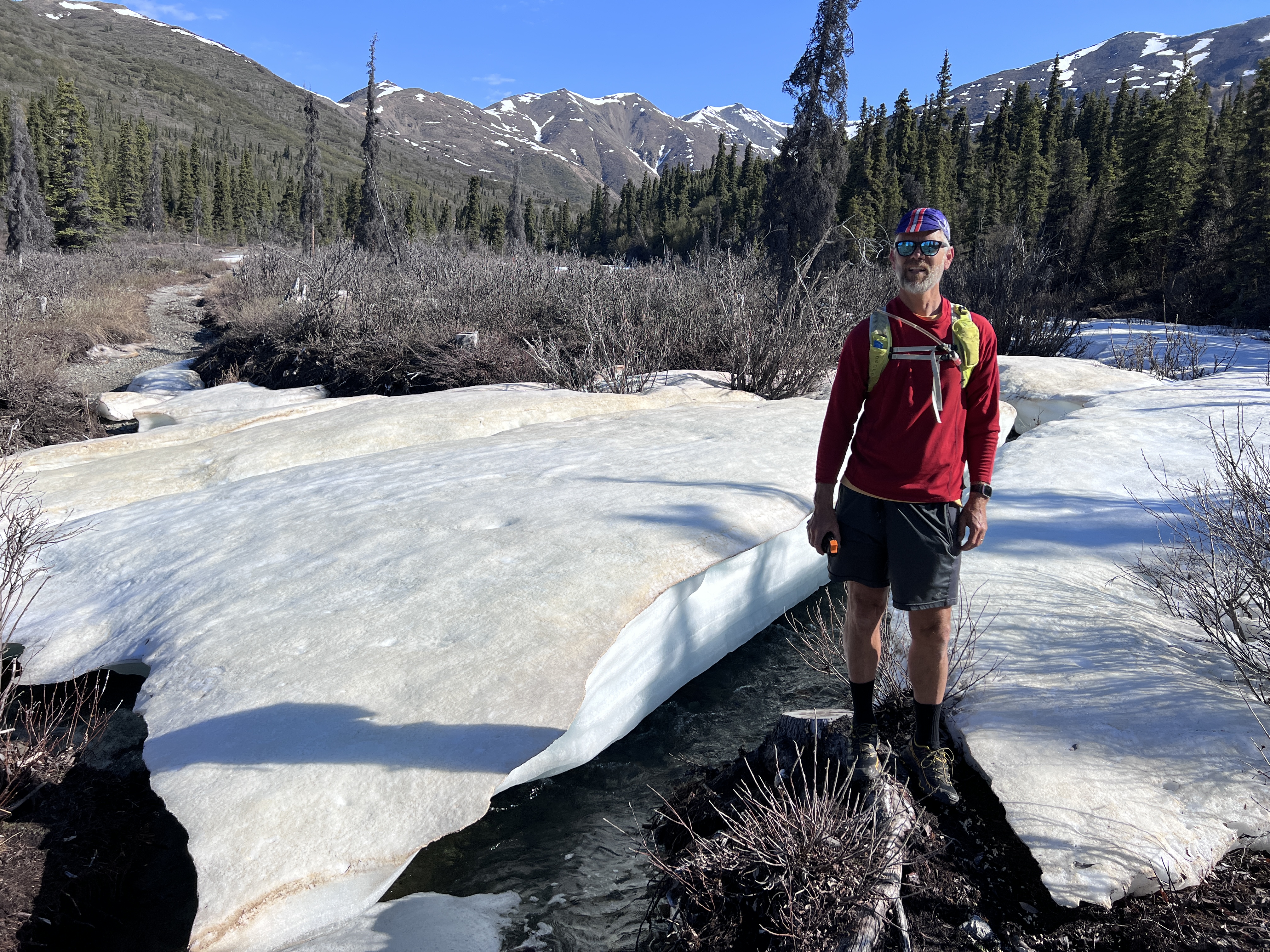
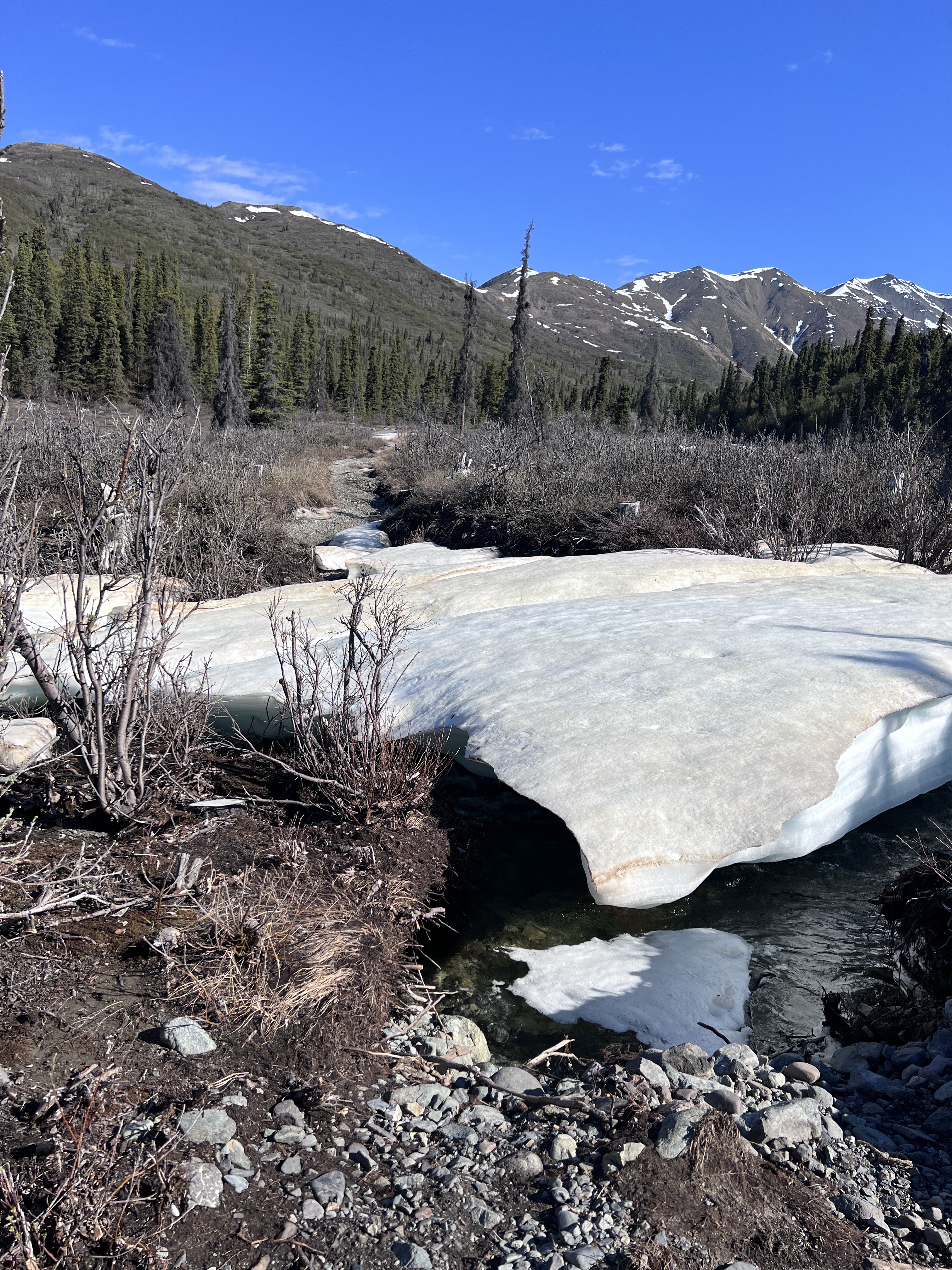
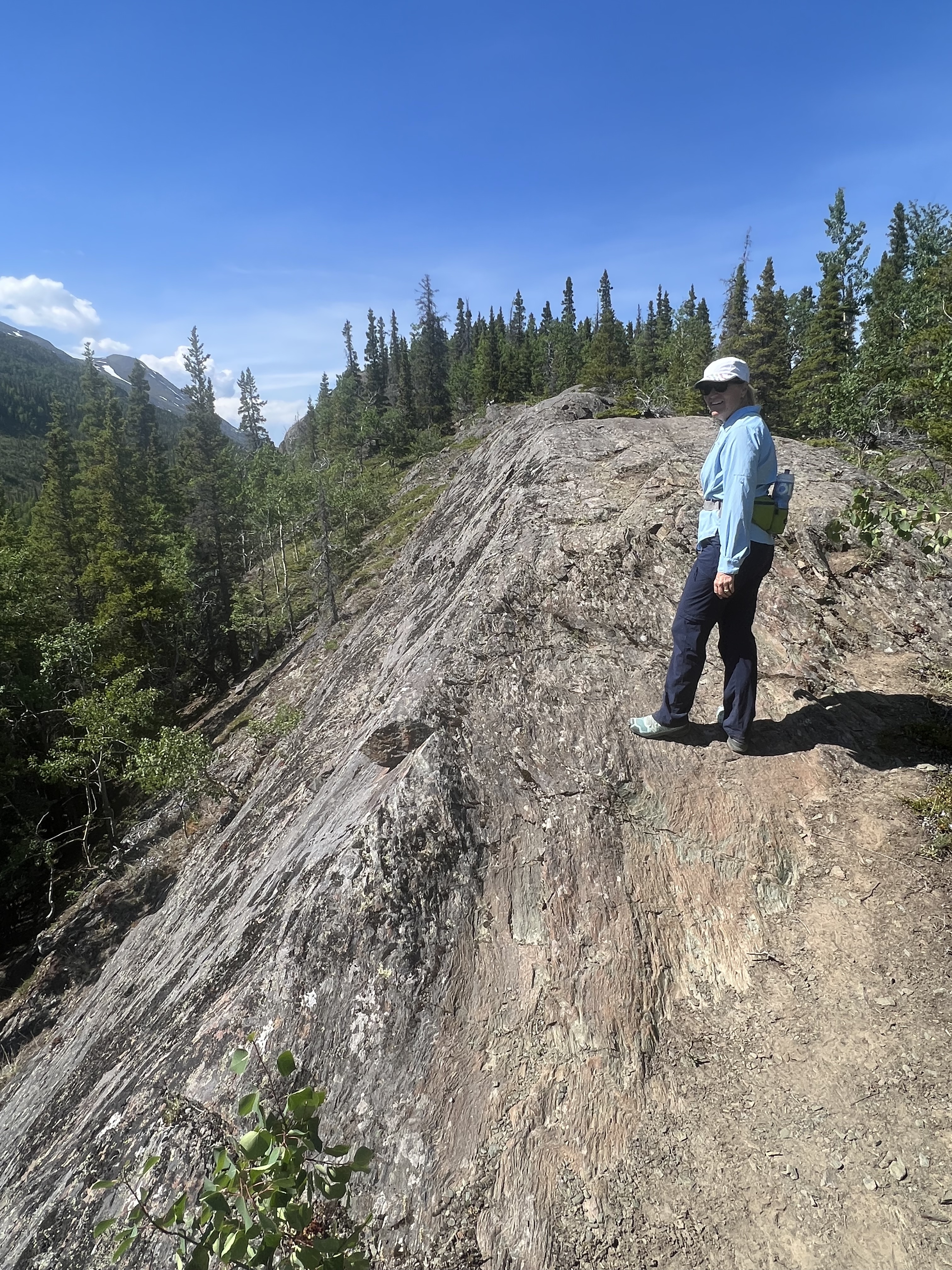
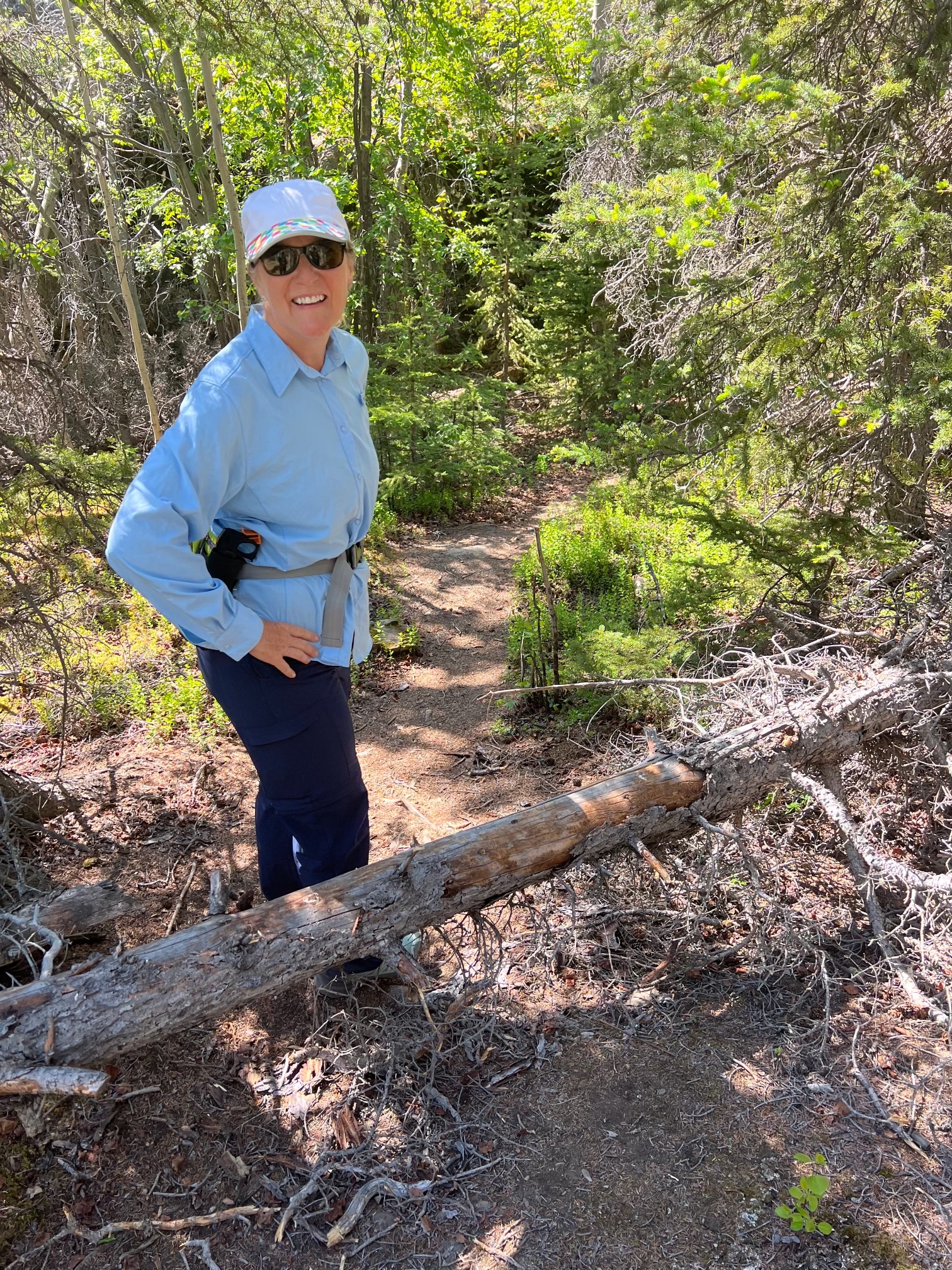
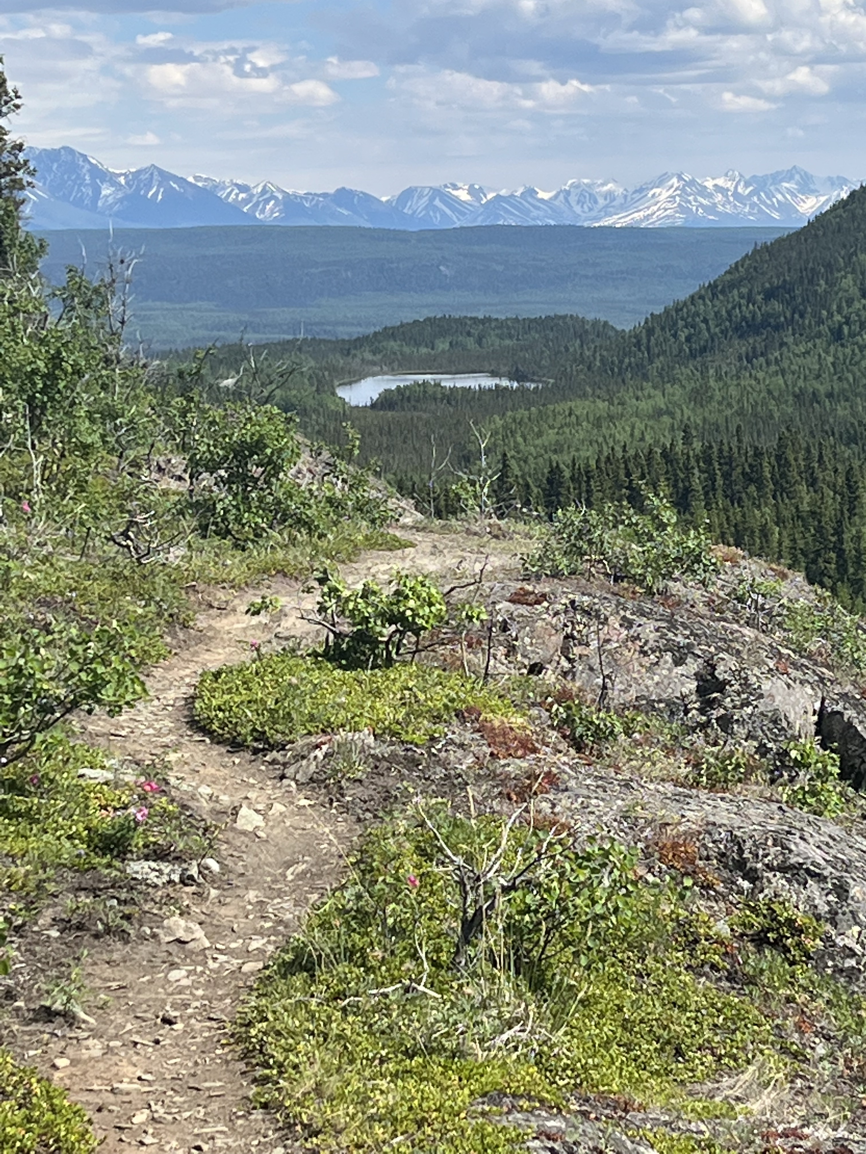
While on Nebesna Road we tackled the Caribou Crossing trail but found the creek crossing was still covered in ice. Still, our very remote three mile hike gave us a good look at the landscape.

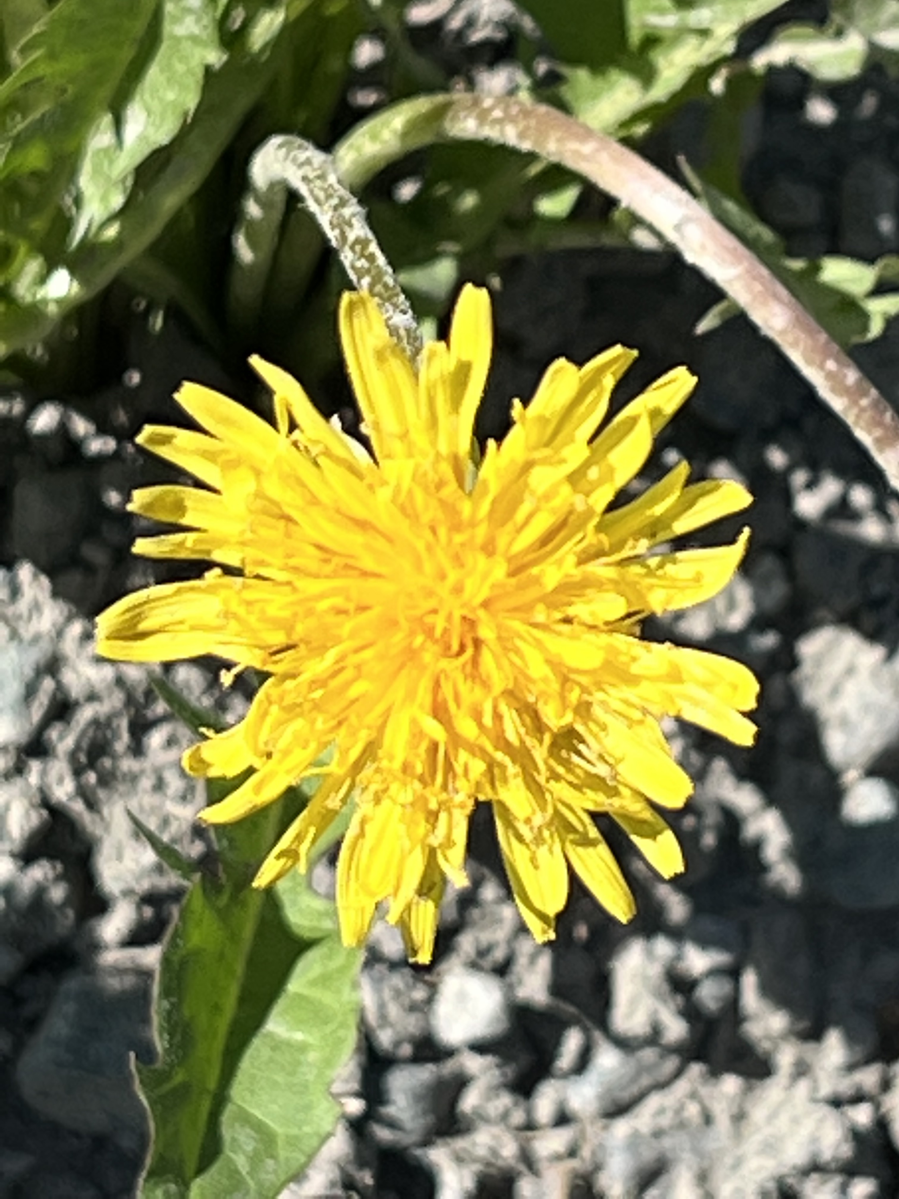
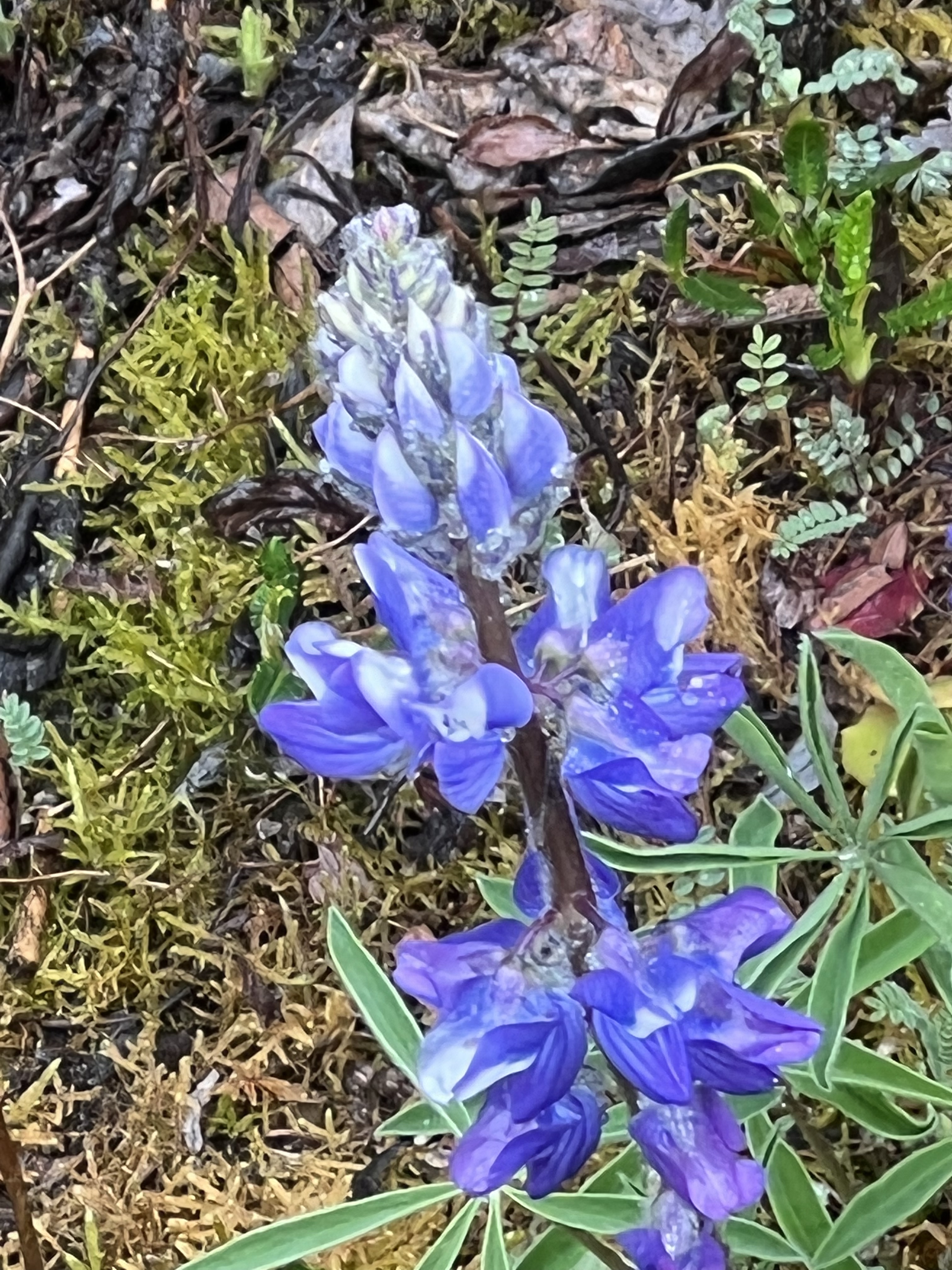
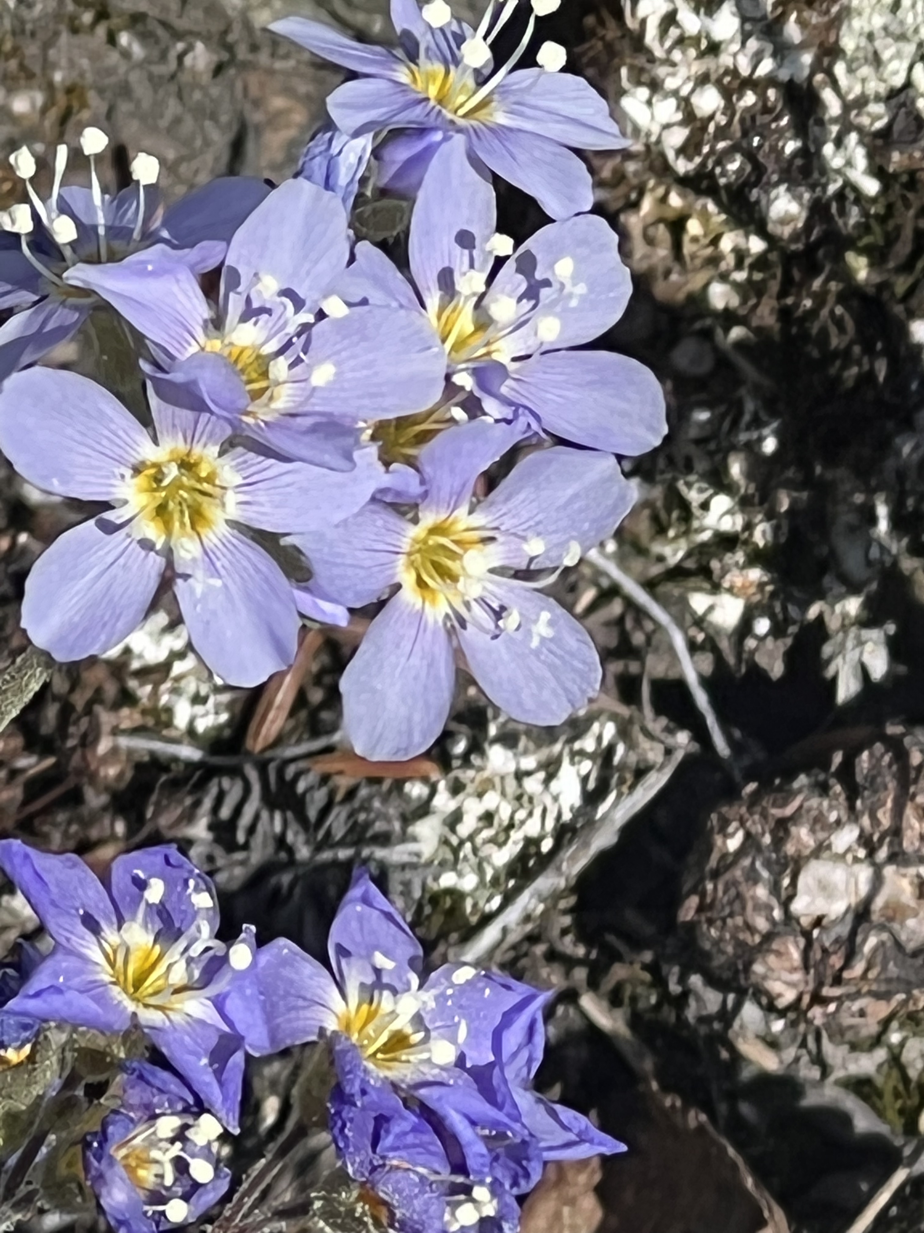
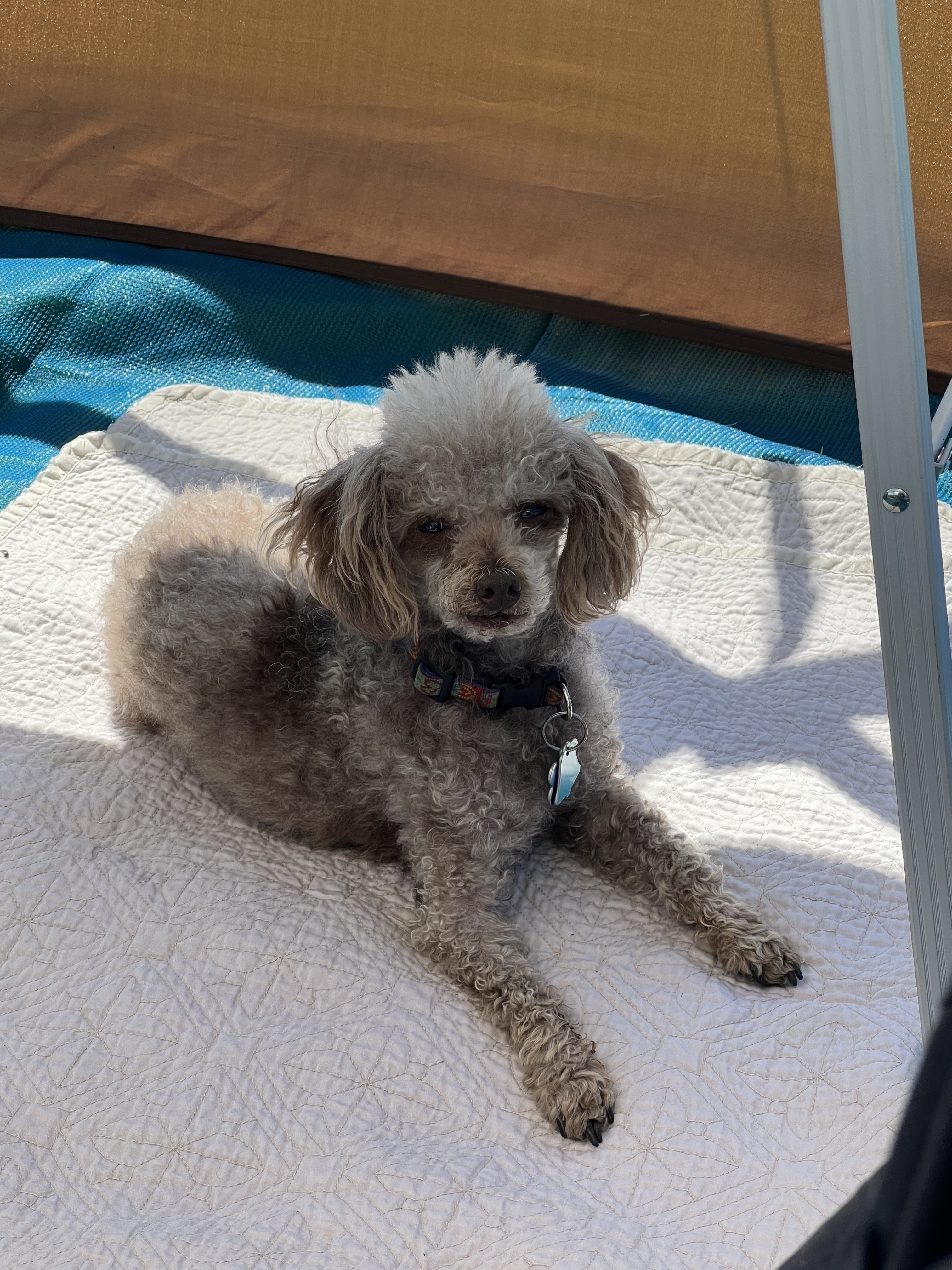
Even though we’ve encountered ice and snow so far, it is beginning to look like spring up here. And to prove it, Steve has been capturing the flowers as they unfold before us.

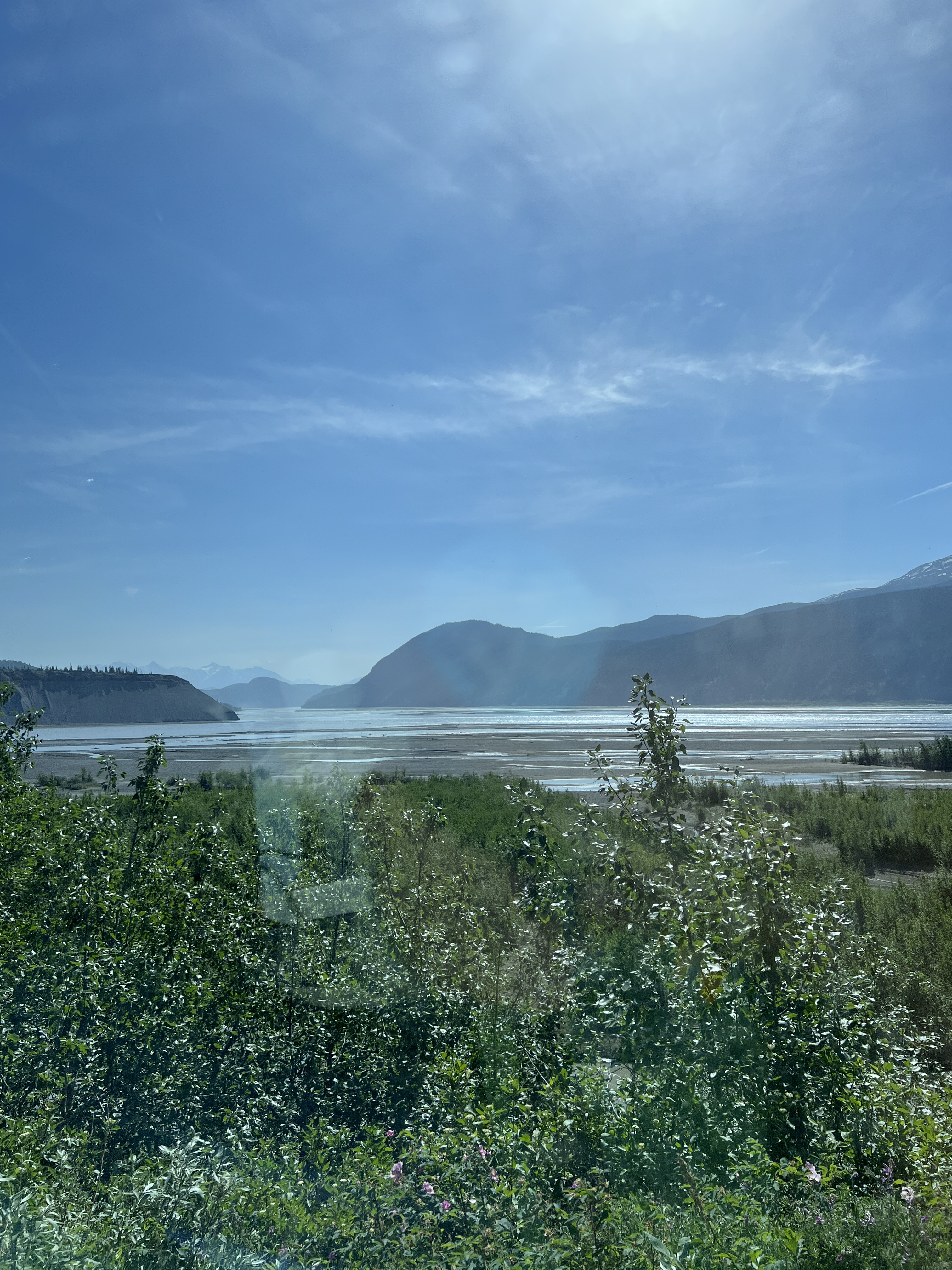
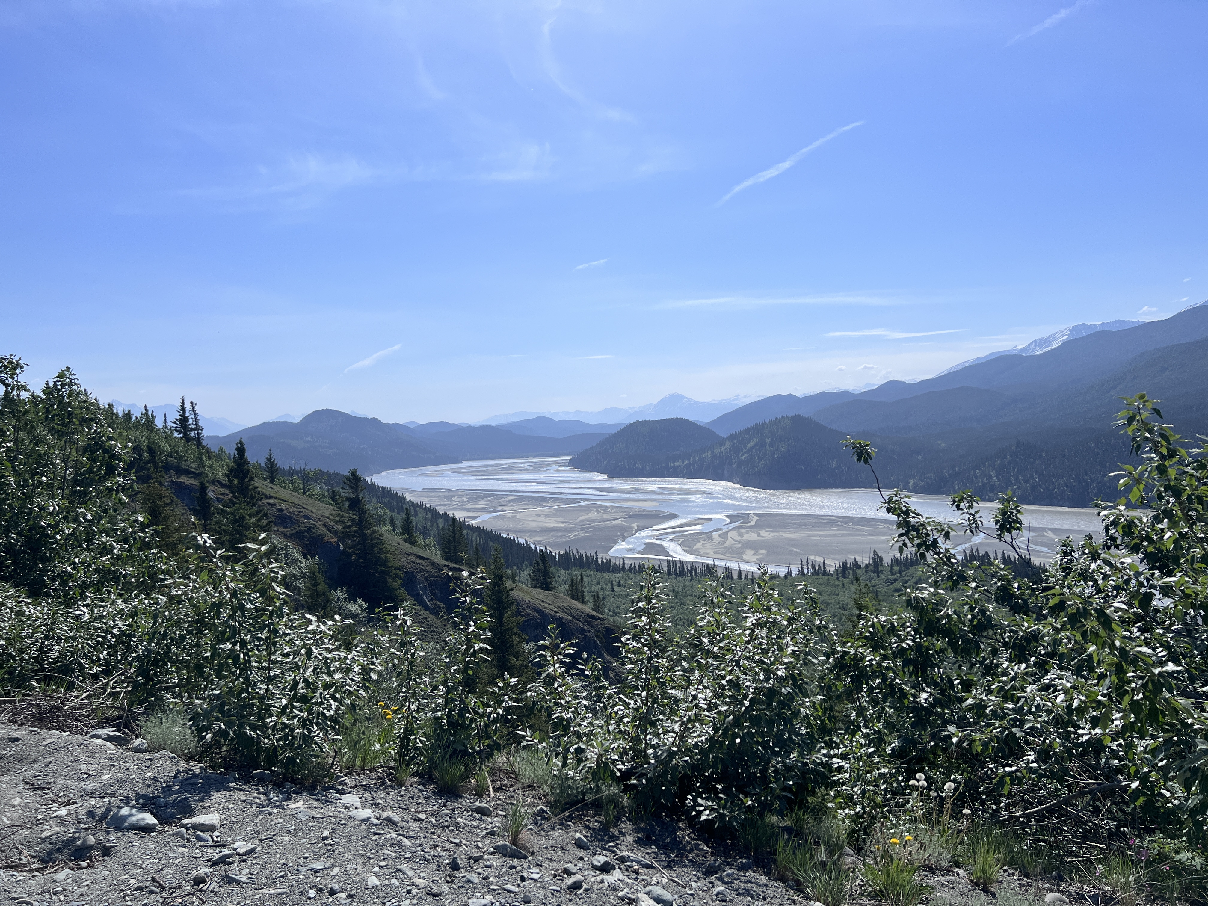
From the Nebesna Road we traveled south towards the other park entrance. Because we had some time to kill before our next reservation, we boondocked a few nights along the way in the Copper River Valley. Known for the famous Copper River salmon, the area is filled with fast running creeks, streams, and rivers, and the water levels have been high due to late snows and now warm days.

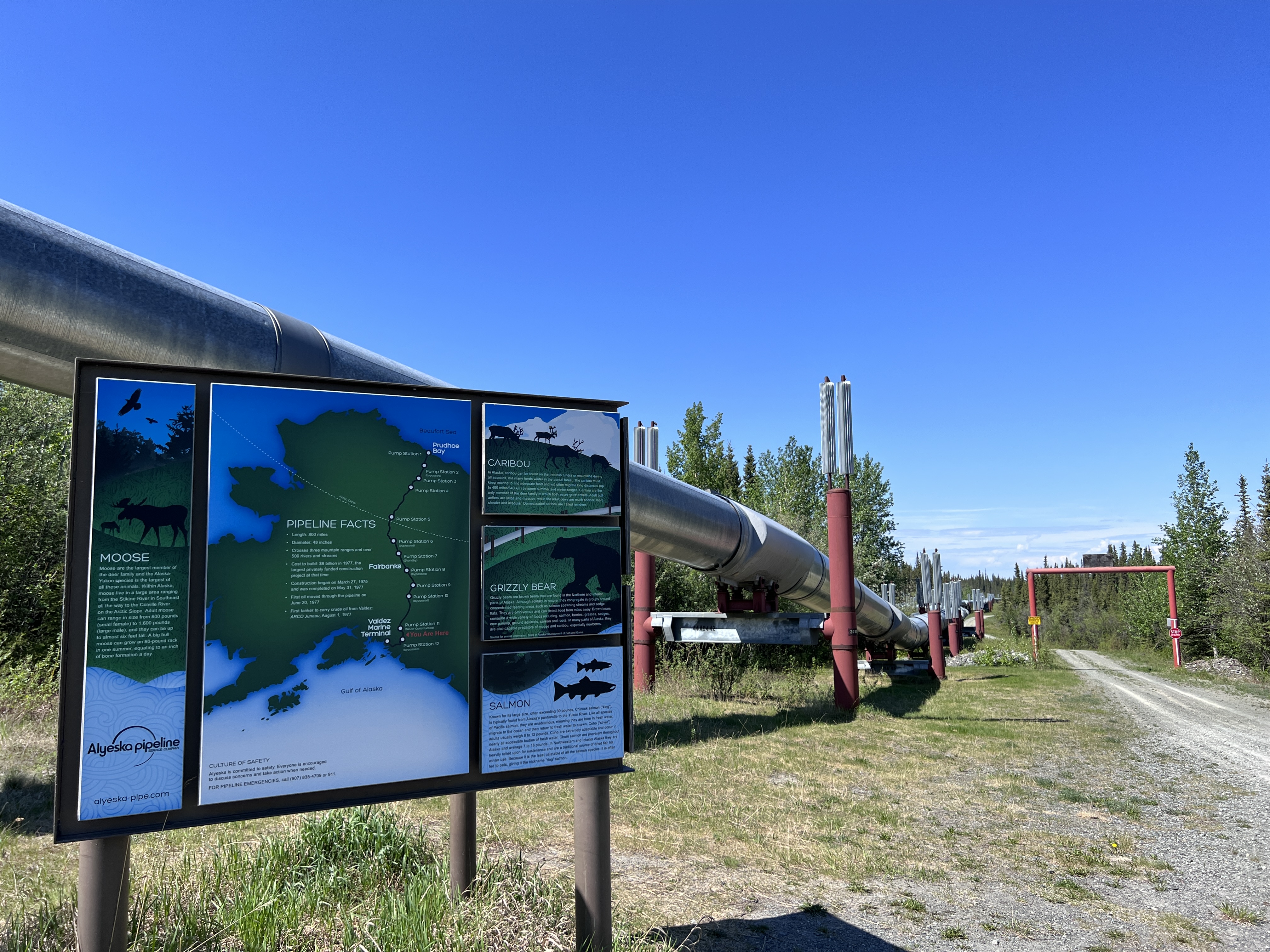
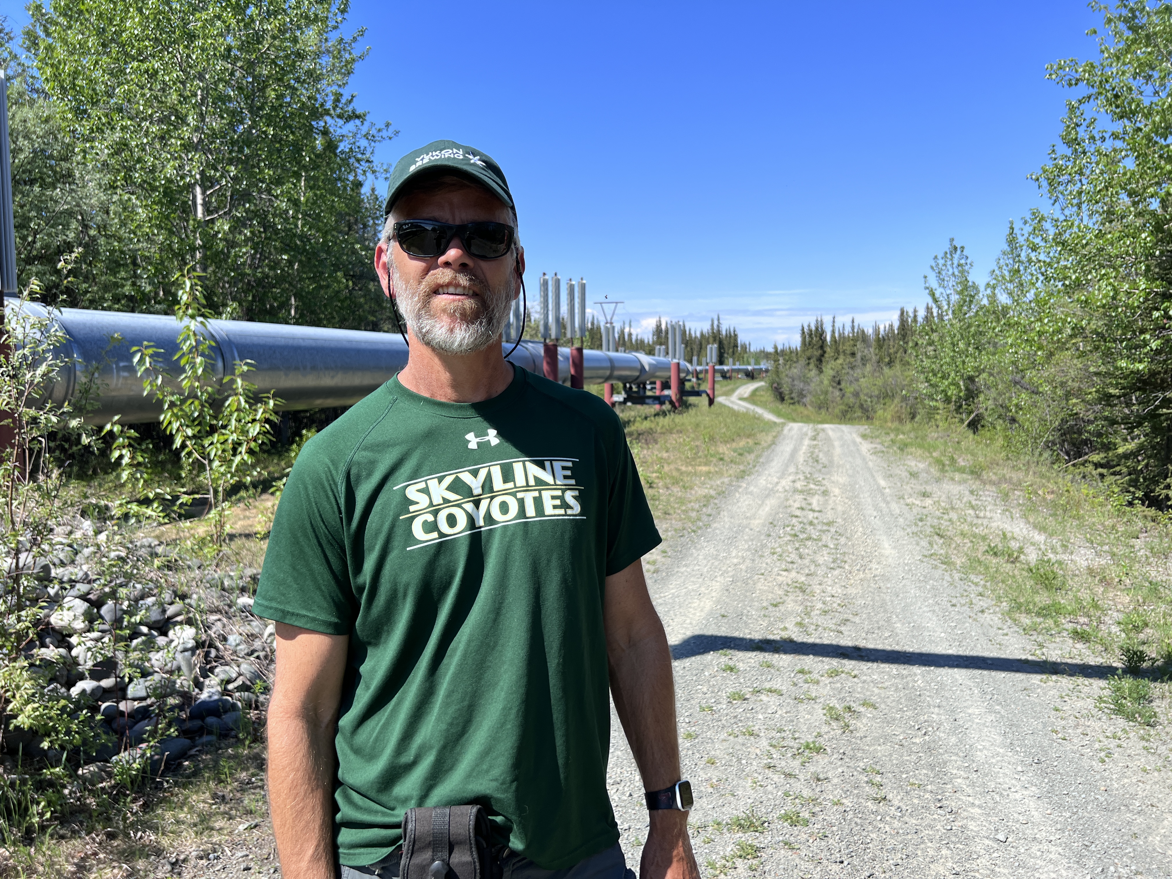
We stayed one night at the Tonzina River Wayside, a paved parking area along the Tonzina River. Unlike most other places we’ve travelled, in Alaska you can pull over and spend the night anywhere along the way, as long as there’s not a sign that says, “no overnight stays.” This spot gave us great access to our first look at the Alaska Pipeline. We’ll surely see more of this as the summer rolls along.

The next night we headed to Squirrel Creek State Park and camped at a great site with a view of a lake and a great path to the confluence of the creek and the Tonsina River. Here’s where we spent my birthday, and it was glorious! I spent most of the day in the screen room, enjoying the views, reading a good book, and just relaxing.


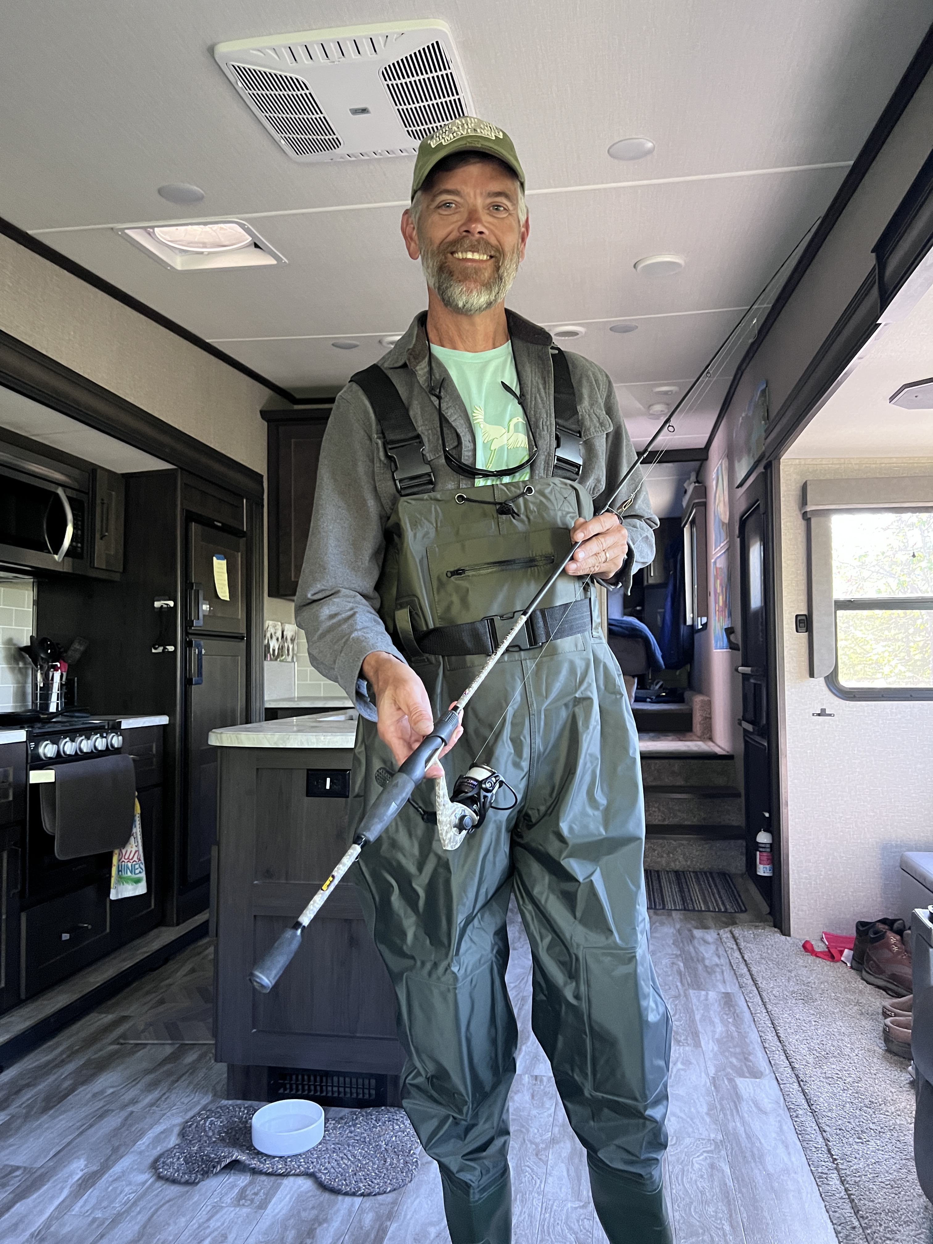
Steve even got in some fishing with his new waders at this stop. He didn’t catch anything but at least he knows they don’t leak!


That evening we headed to the nearby Tonsina River Lodge and enjoyed our first exposure to Russian food. It was fabulous!


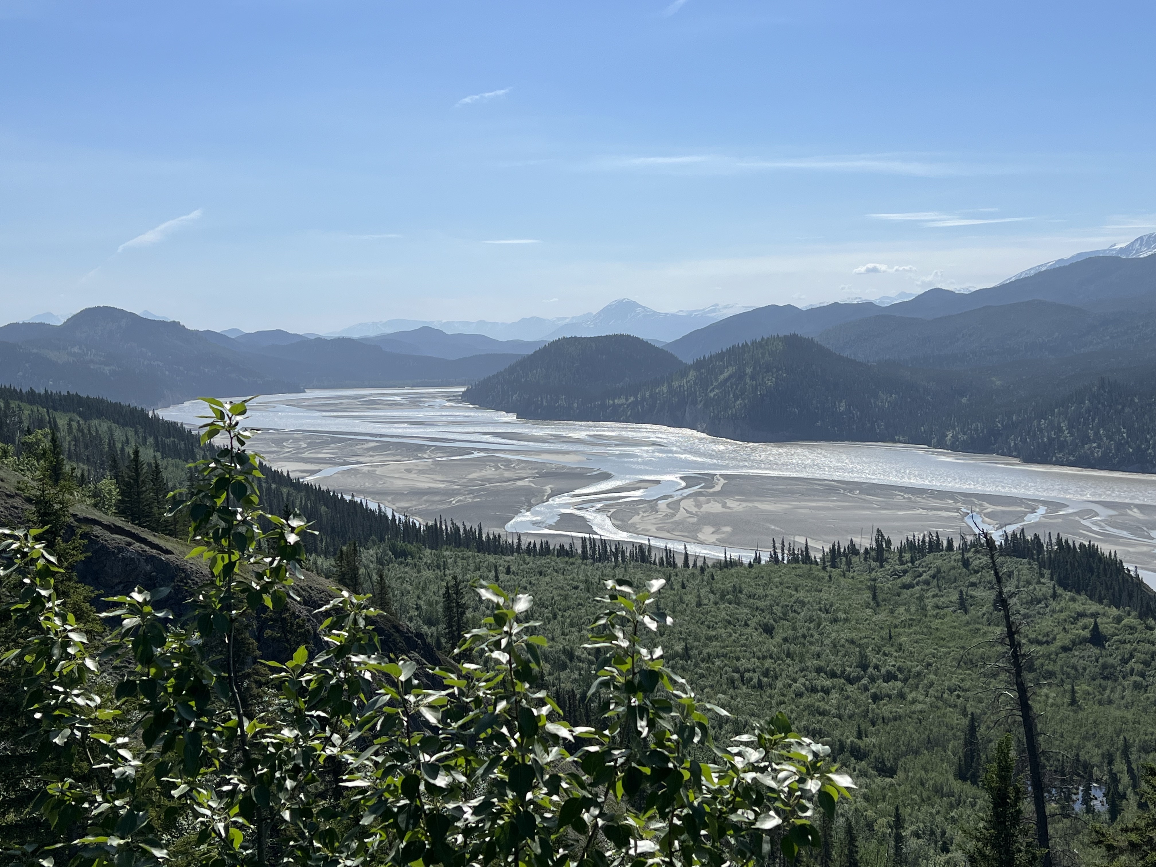
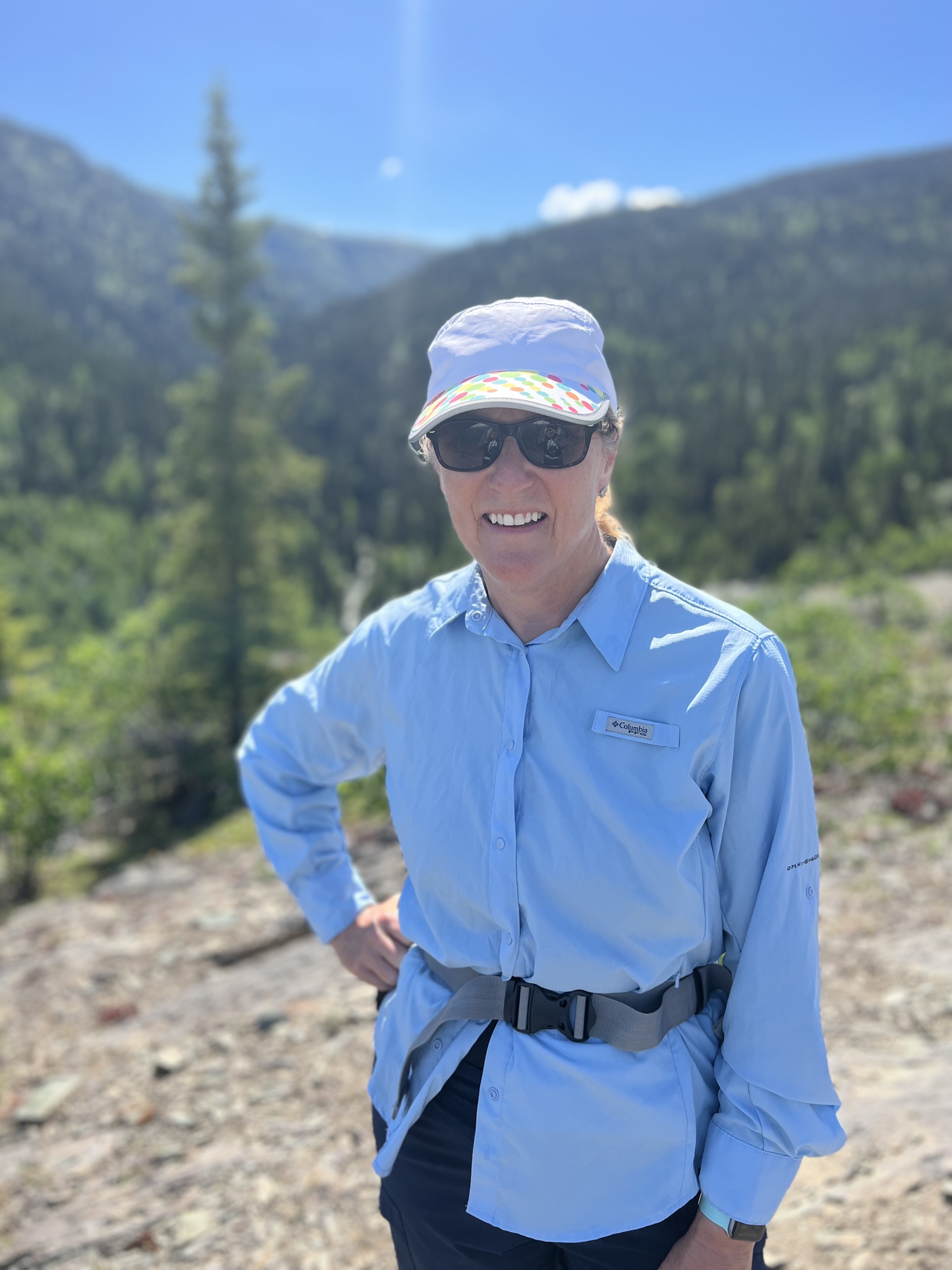
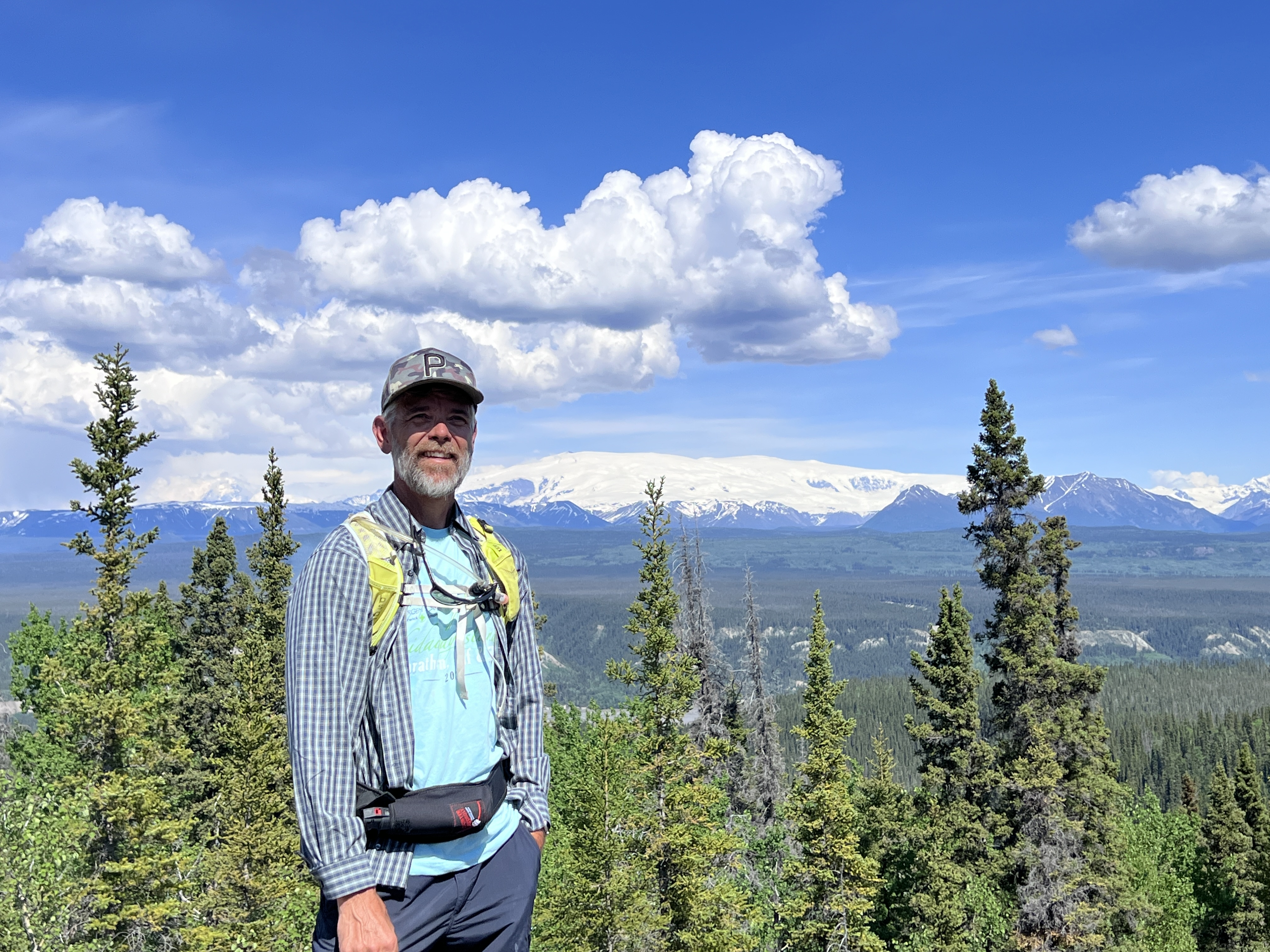
A few nights hanging out in the Kenny Lake area, we were able to get in a great hike near Liberty Falls that gave us awesome views of the Copper River and surrounding mountains.

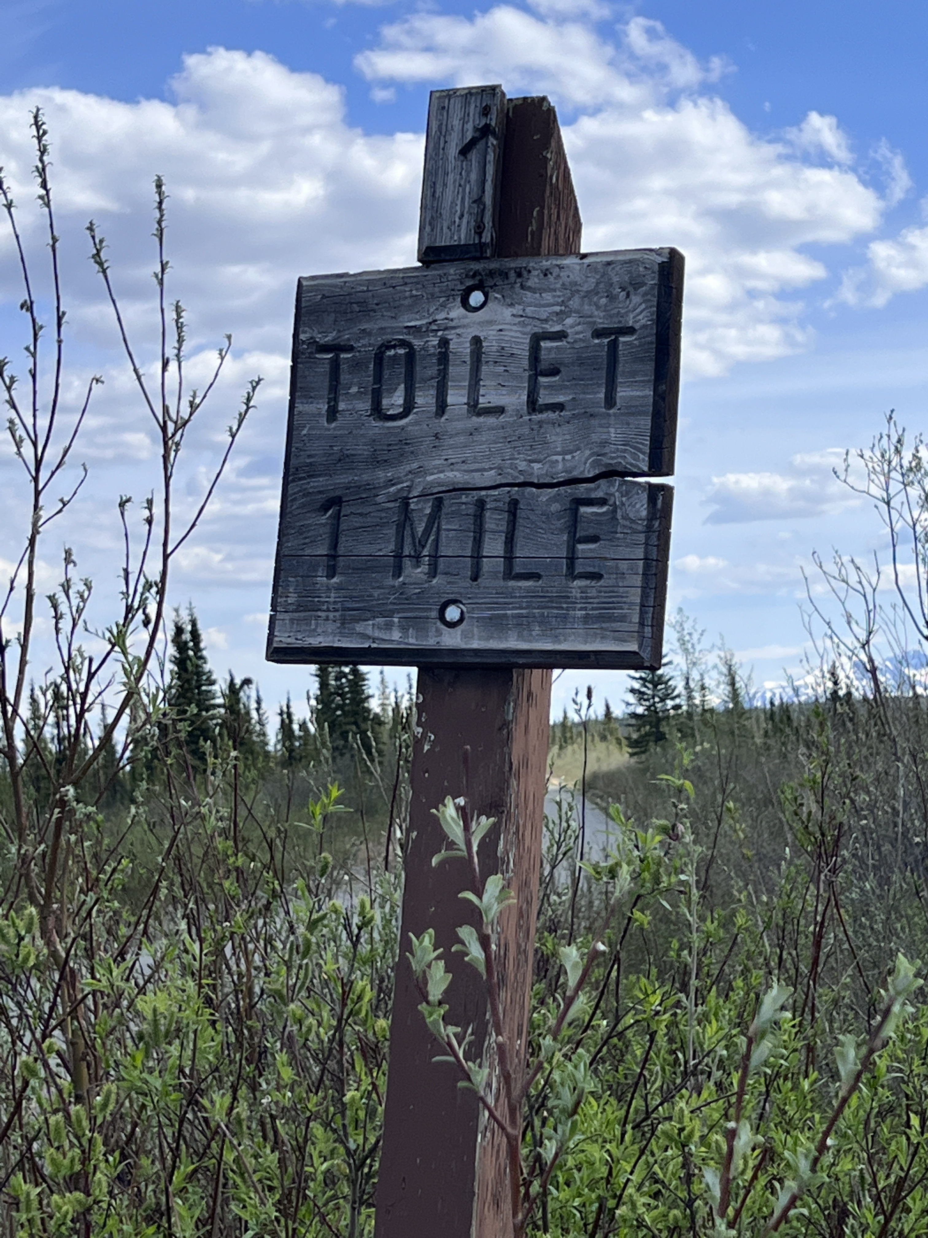
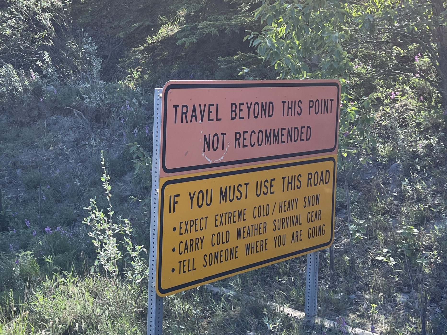
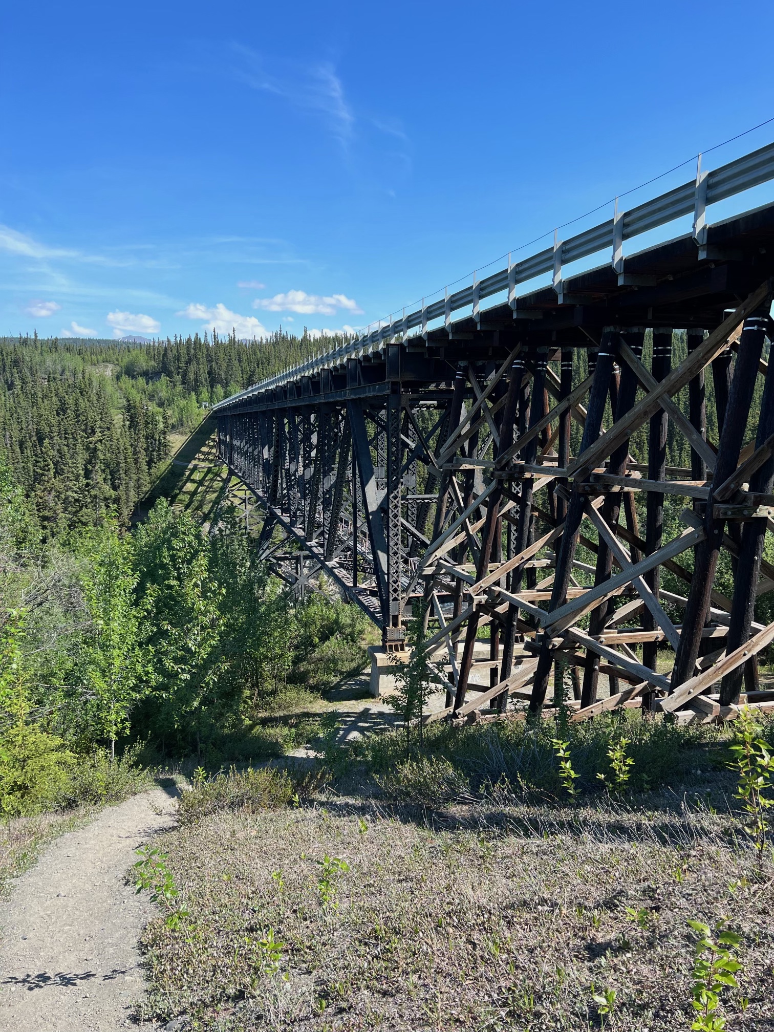
Finally we began the epic journey down the McCarthy Road, the second road into Wrangell St. Elias National Park. The road was created on the old railroad bed that linked the Kennecott Copper mine to the coast at Cordova. It’s a 60 miles journey down a rough, unpaved, and remote road that was originally developed in the early 1900s. Signs along the way warned us to be careful!
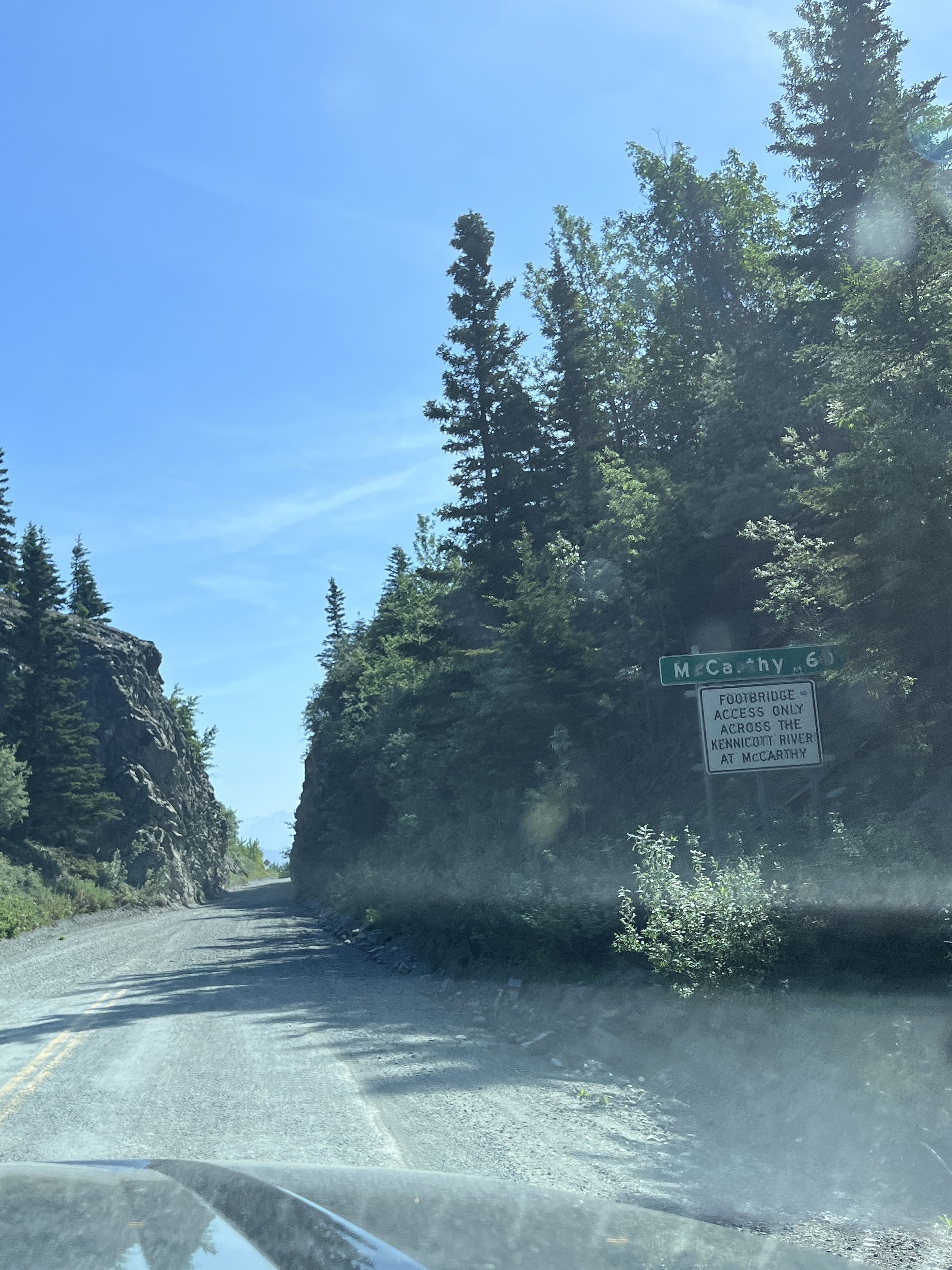
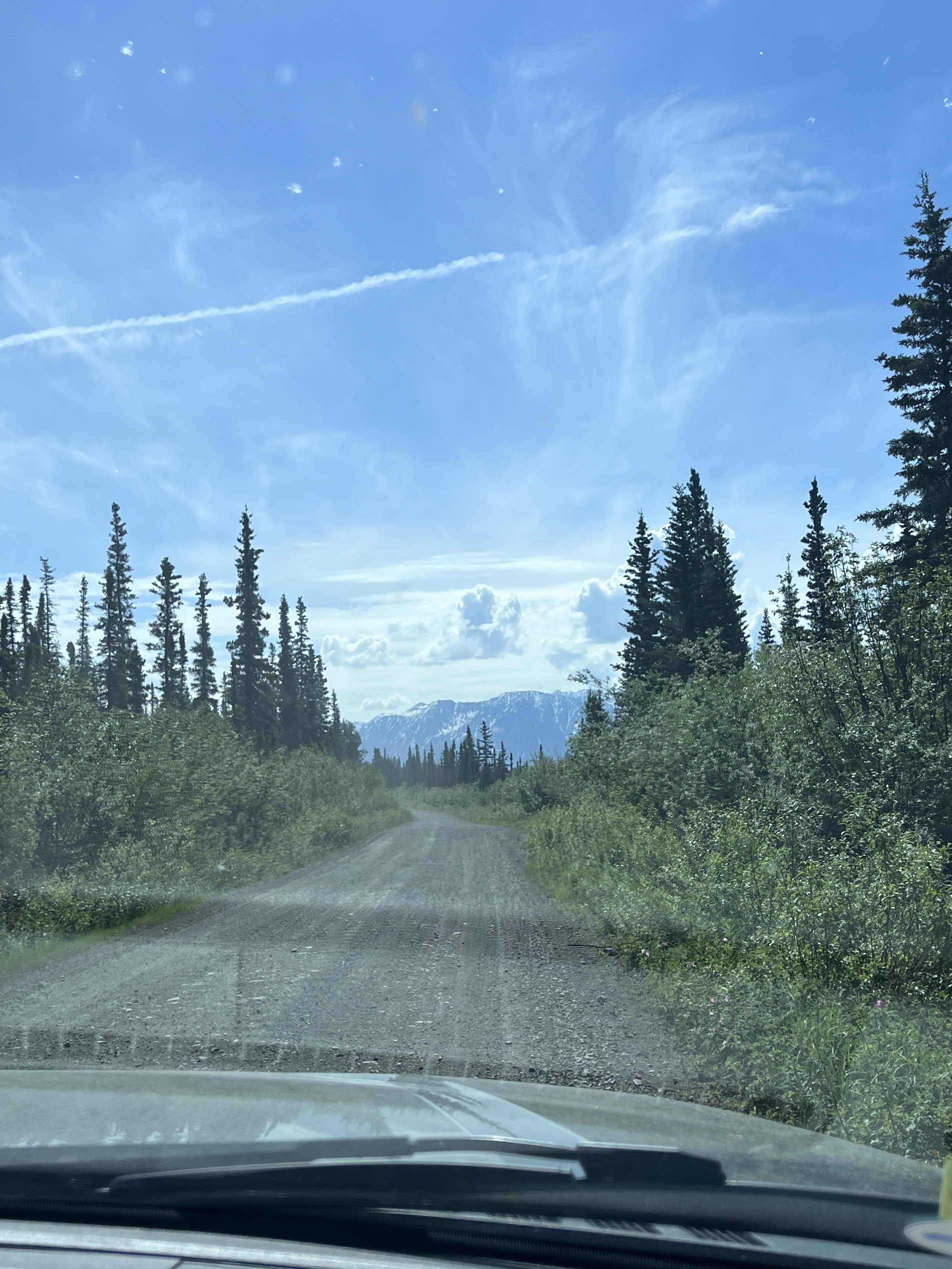
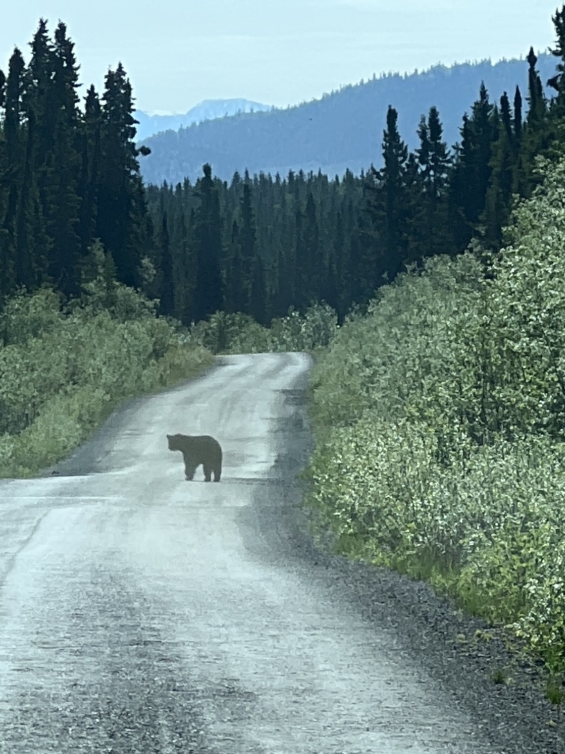
Along the way we stopped to check out the old trestle bridges and one lane creek crossings. We even had a bear cross in front of us. Just getting to McCarthy is an adventure!


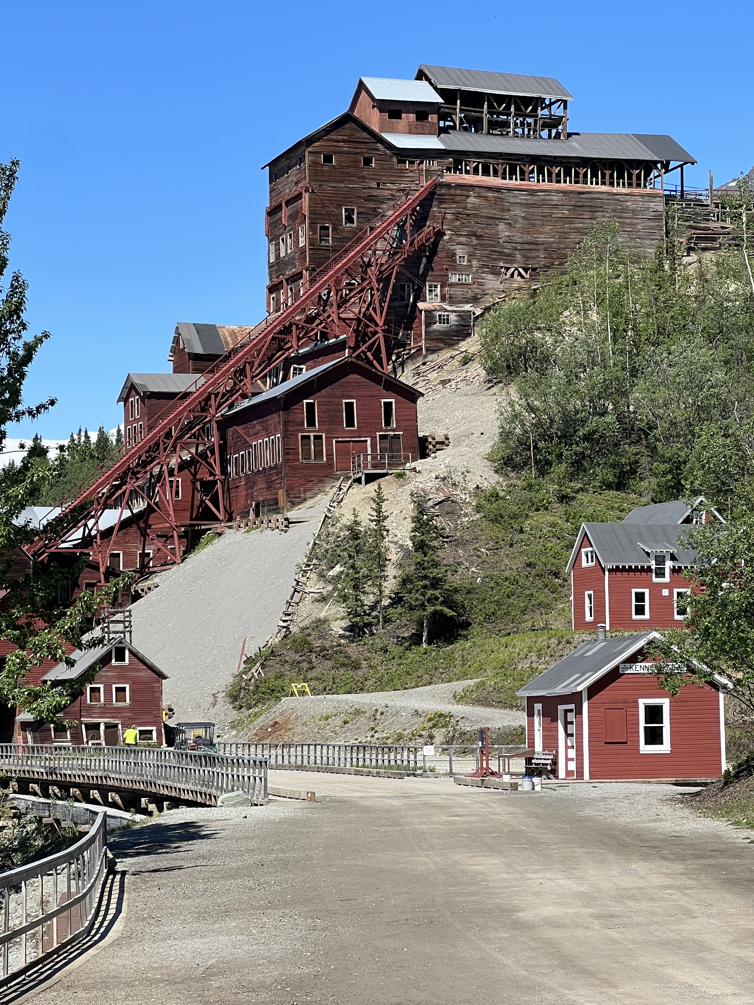
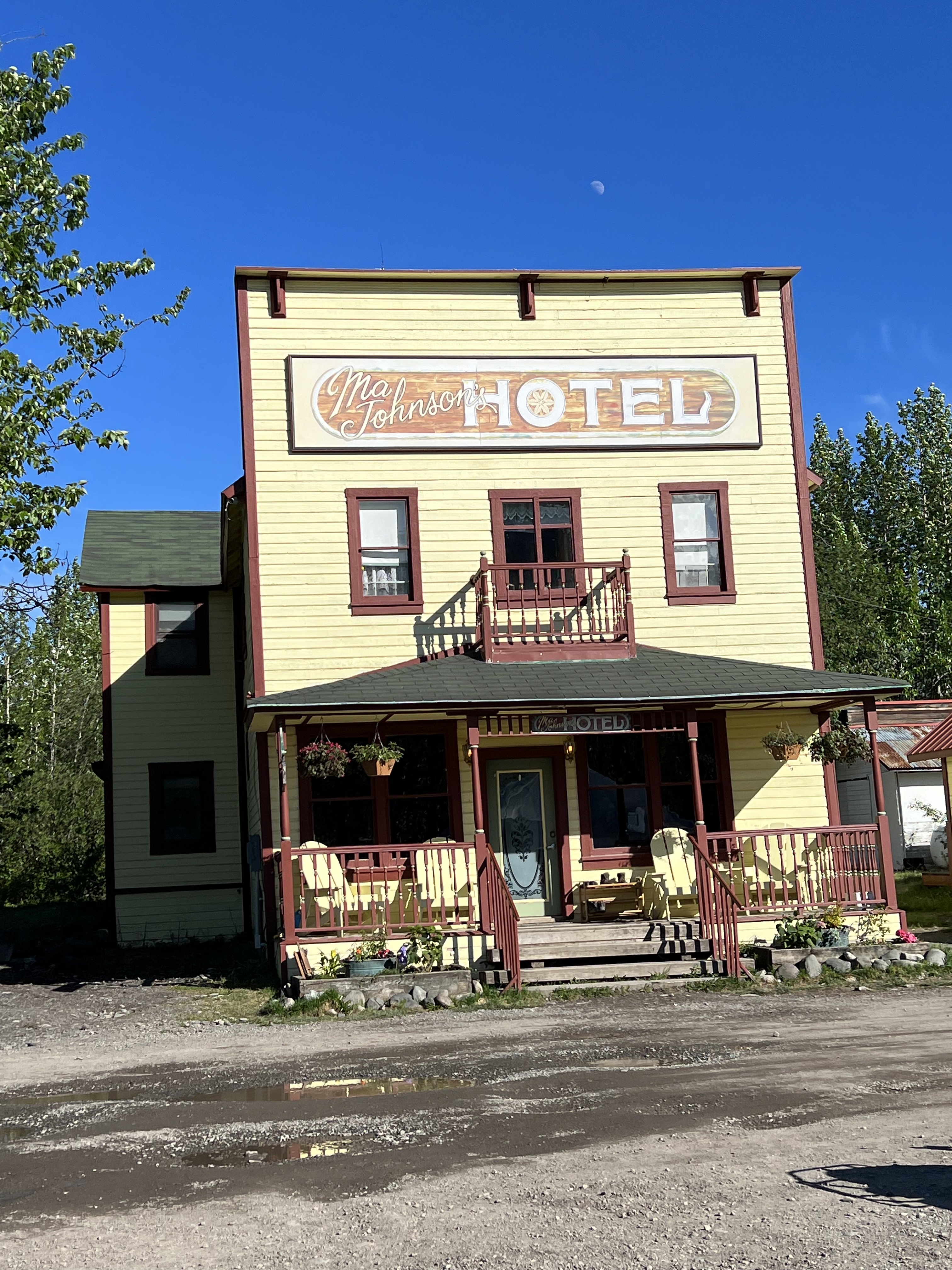
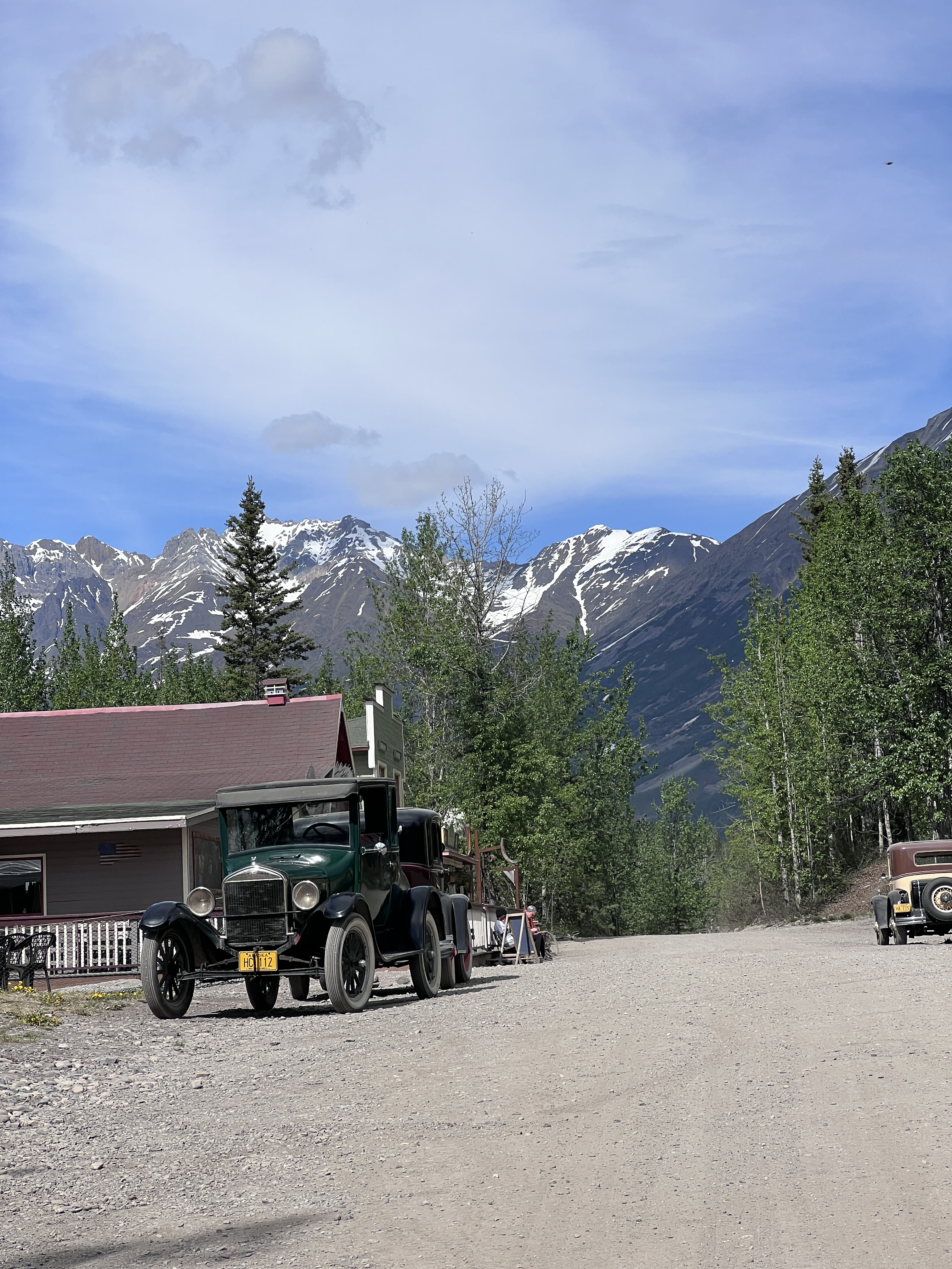
Once we arrived at Currant Ridge Cabins, our home for the next three nights, we ventured into “town.” McCarthy was the social center of the area in the early 1900s when hundreds of miners worked at the nearby Kennecott mine.
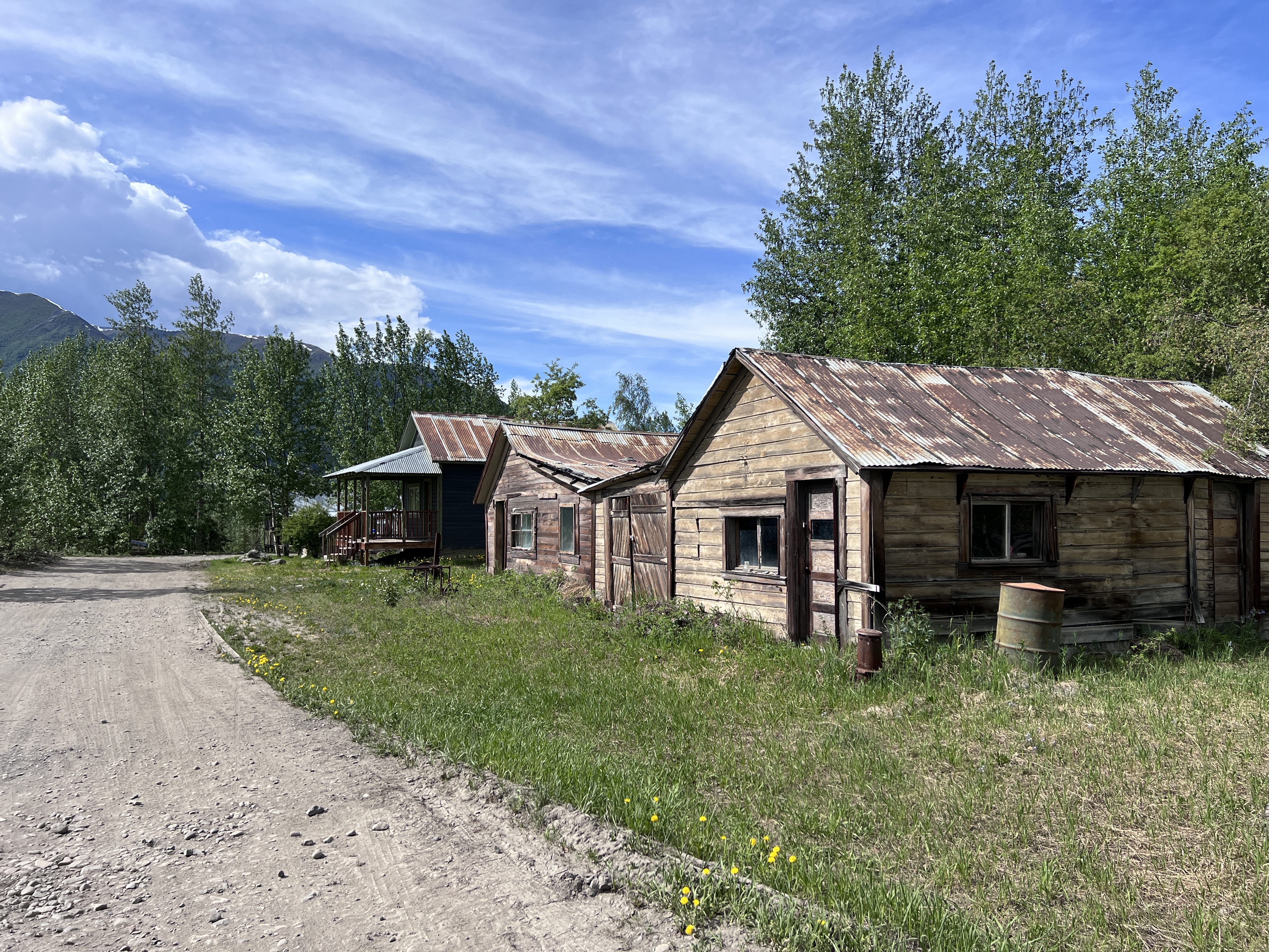


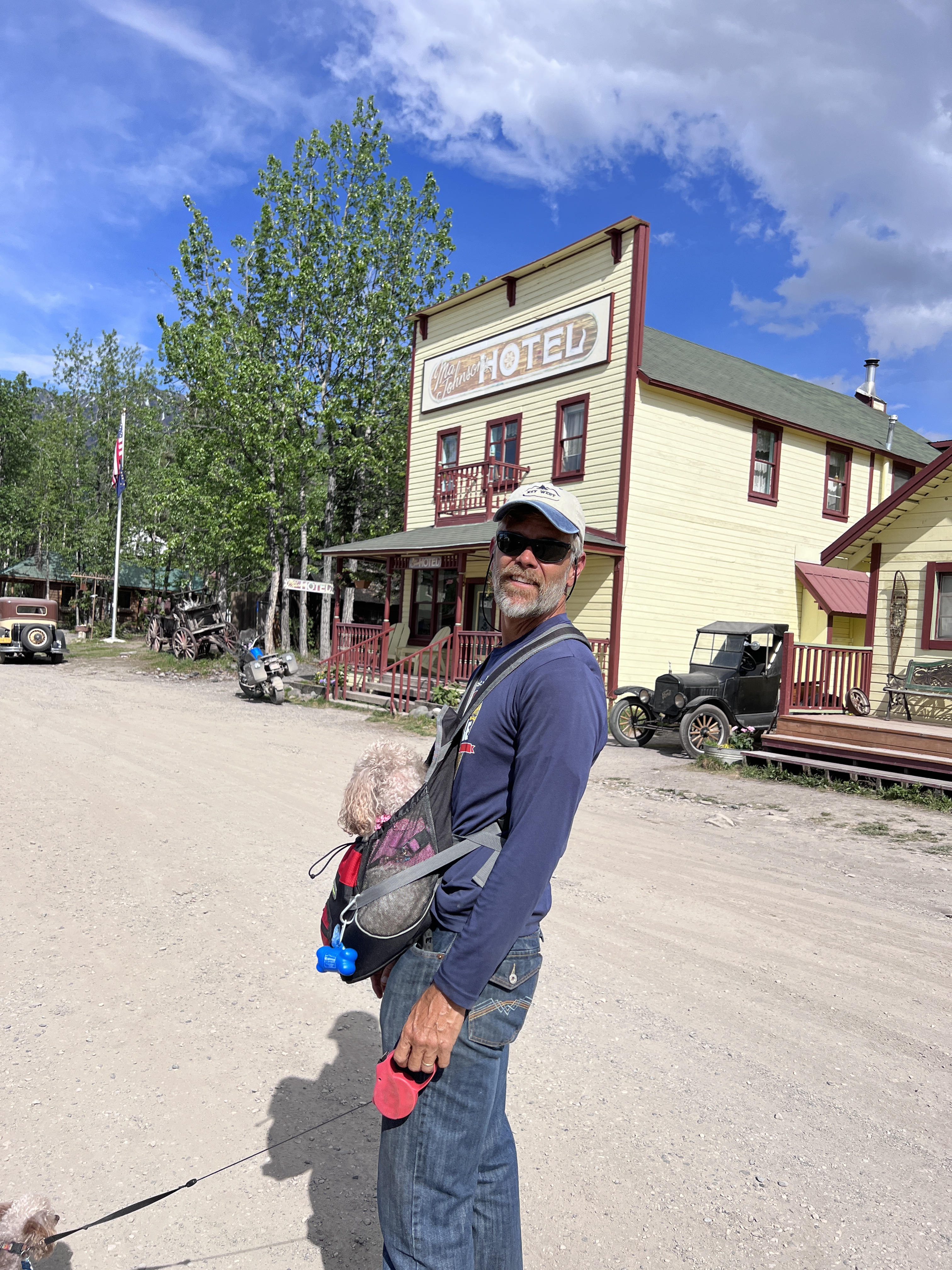

If it sounds familiar, it might be because the town is featured in the Discover Channel series, “Edge of Alaska.” Ripe with intrigue, conflict, and a saucy history, this old town is filled with characters, rugged individualists, and now, some tourists.
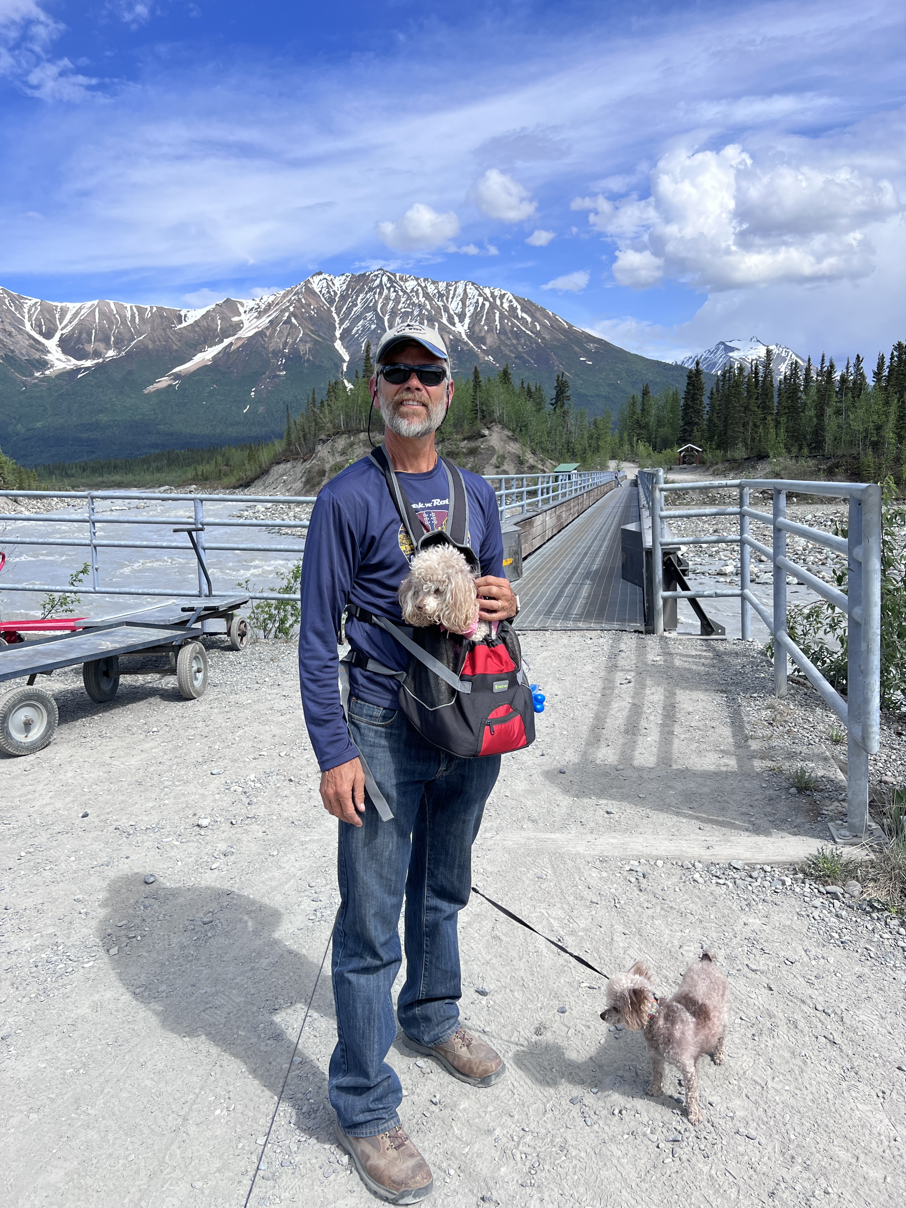
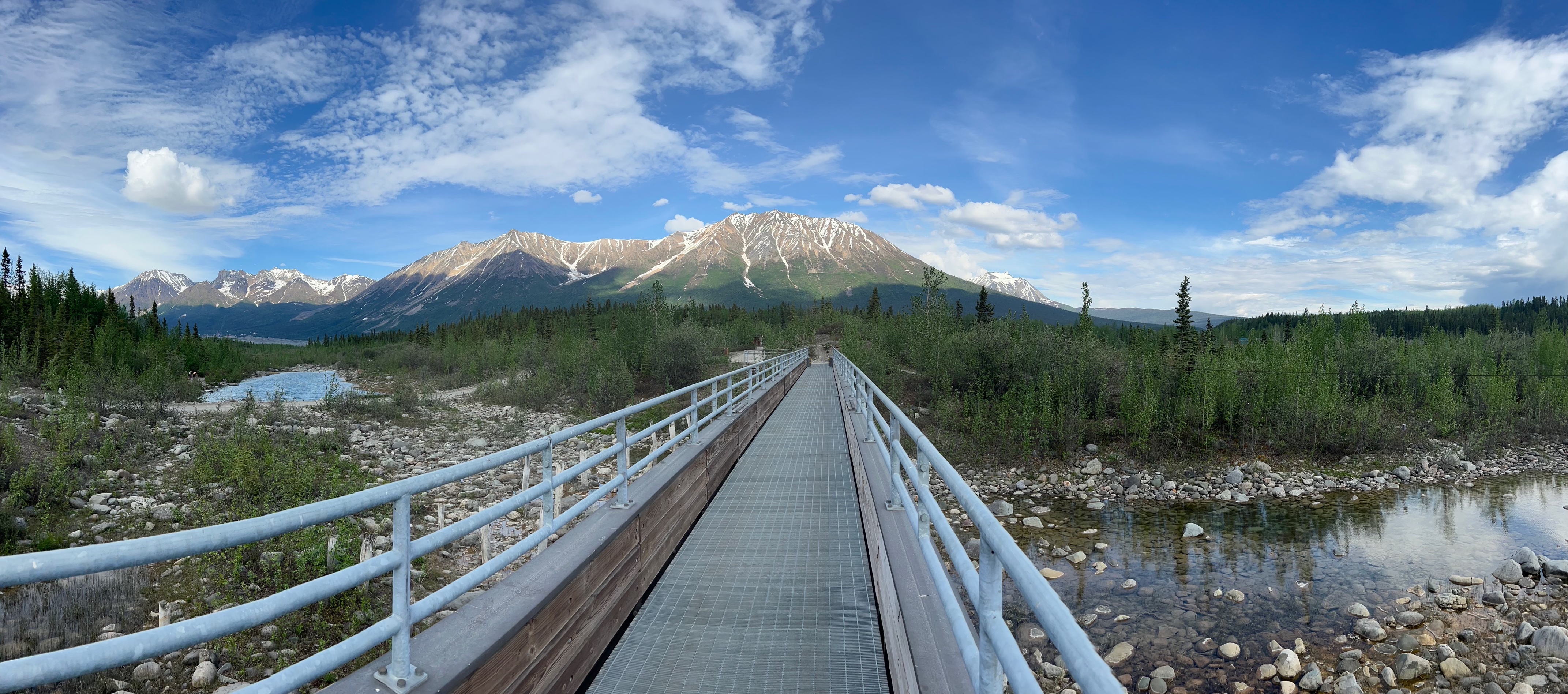
To get to McCarthy you park on one side of a roaring river and take the footbridge to the other side. From there you can take a shuttle or walk the half mile into “town.” Only locals have vehicles on the town side of the river and they access town via a bridge they pay to use.

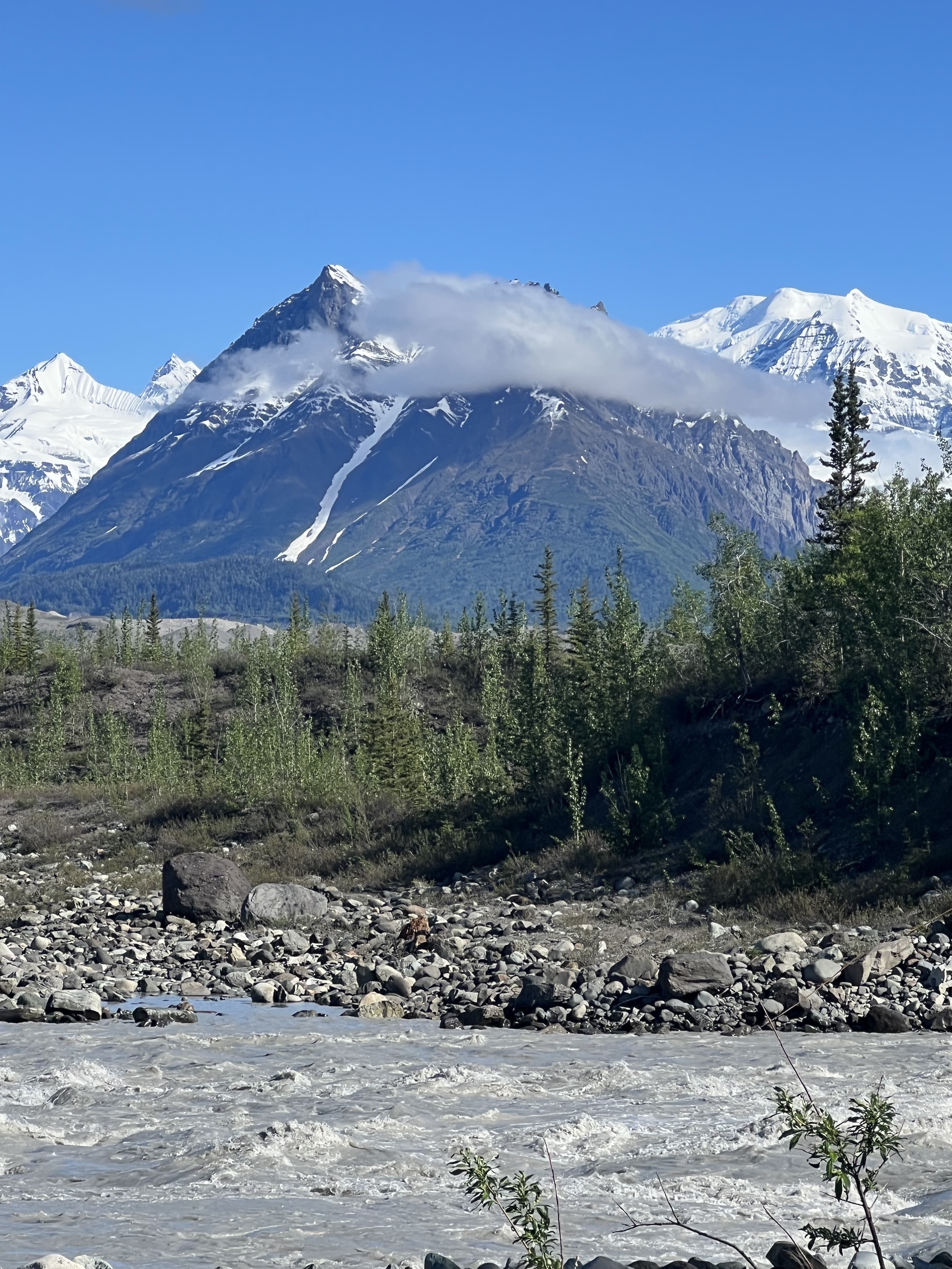
Four and a half miles up the old road from McCarthy sits Kennecott, the old mining town and the site of the National Park Visitor Center. Both towns sit at the toe of the Kennecott and Root Glaciers, and doing a glacier hike is a must when visiting this area of the park. Because we have SO MANY PHOTOS, we’ll do a separate blog post on the glacier hike and on the other high-flying adventure we had while in this area. Here’s a preview:


Our time in McCarthy was complete after we spent an evening in town with the locals. We had a wonderful dinner at the Salmon and Bear featuring Copper River Salmon. From there we sat at the bar in the saloon and chatted with locals who have lived in this remote paradise for decades. Boy, do they have stories to tell!


And, yes, there’s way more to share about this part of our Alaska adventure. Stay tuned for more posts coming soon!
