We’ve formally declared our love of our National Parks with a new sticker on our rig. It’s right above the map which shows the states we’ve RV’d in. We’re making progress, huh? We ticked another park off the list–Mt. Rainier National Park and let’s be honest. You can’t do Mt. Rainier National Park in a day…but we tried. We are on our way to the Olympic Peninsula and had one day at a campground about 70 miles from Mt. Rainier. We figured, why not?
 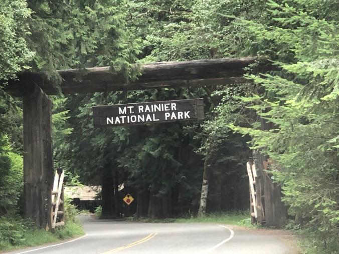 And we’re so glad we did it! Mt. Rainier is the tallest peak in the Cascade Range at 14,400 feet and is visible for many miles in every direction. We’ve seen Rainier from a distance, from Seattle and from the air, but never as up close as this.
There are five major visitor areas in this massive national park, and we were able to touch on two of them. We entered the park from the southwest and explored the Historic Longmire area.

Though the museum was closed due to COVID, we were able to explore a few short trails to get a feel for the park. The Trail of the Shadows, a one mile loop, included some great interpretive signs that provided some history about the area.


Up the road we encountered Christine Falls, which are framed by the highway’s bridge. We hiked the short trail to get a view of the falls from below.


Because we got an early start, we avoided the crowds that descend on this area by mid-day. That allowed us to enjoy the scenery without much contact with others, and it gave us lots of time to take pictures. See our truck crossing the bridge? 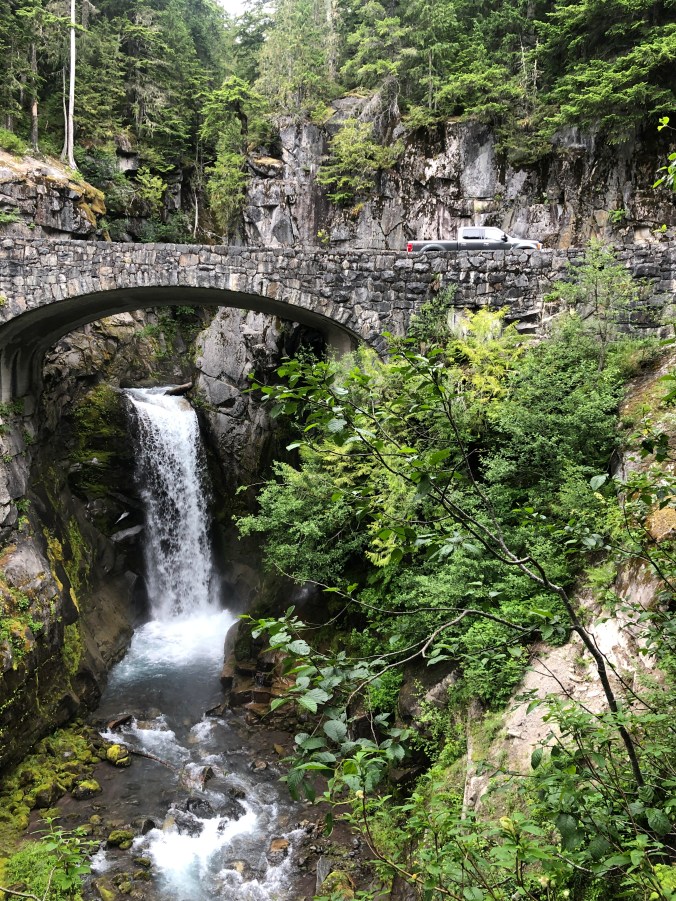 We next came upon Narada Falls, which involved a short, steep downward trail to fully view the cascade. Knowing much of the infrastructure of this park was originally established in the 1890s, we really appreciated the thoughtfulness and accessibility of each feature.


Of course there were many trails that my foot was not ready to explore yet. Like so many of the places we’re visiting on this trip, we will need to return.
The second area we explored was called Paradise in the southern part of the park. We think it was spectacularly beautiful, but the fog had not yet lifted, so we saw things through a bit of a haze. Paradise is where the main visitor center is located, along with the historic Paradise Inn.  The Inn originally opened in 1917 and features a grand lobby and massive stone fireplaces. Today, however, it’s boarded up, awaiting the 2021 season (hopefully).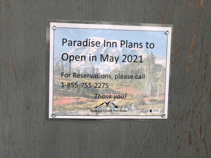
Steve took the short hike to Myrtle Falls from Paradise and encountered snow covered trails on his way. Even though it’s late July, the temperature at Paradise, 5,500 feet elevation, was in the 40s. Imagine what the weather is like at the summit, almost 10,000 feet higher?


They say that 10,000 people attempt to summit Mt. Rainier every year. About 25% are successful. Many use it as a training exercise to prepare for other epic climbs like K2 or Everest. While Steve is curious about the higher elevations, I was happy to make it to Paradise. It made for a lovely day and beautiful picnic lunch setting.


There was so much more to explore but our time was limited. We suggest spending multiple days in the area to improve your chances of seeing the summit. July was a great time to visit as the wildflowers were in full bloom. When we return, we’ll likely enter from the east and shoot for the Sunrise Visitor Center.
We are happy to be in Washington, where the weather is cool and the coffee is strong. We’re stopping at little coffee stands along the way to get our boost. Often they include a little chocolate covered espresso bean on top and now we are kind of used to that!


We’ve got another National Park visit just around the corner. Can you guess what’s next? Stay tuned for the next blog for a full recap. As always, we love your comments!
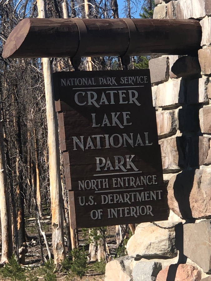 We took a day to explore the highlights of
 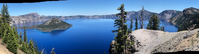 We entered the park from the north where we are staying for a few days. The
  To explore the National Park we followed the advice of Michael Joseph Oswald who wrote the book


 We drove the 33 mile rim trail and stopped at all the highlights. There are waterfalls, overlooks and sweeping views.
  One side road took us to the Pinnacles, unique formations of pumice spires, created by erosion along a steep-sided canyon. Some of the cones are especially tall, tapering to a sharp point. Super cool.
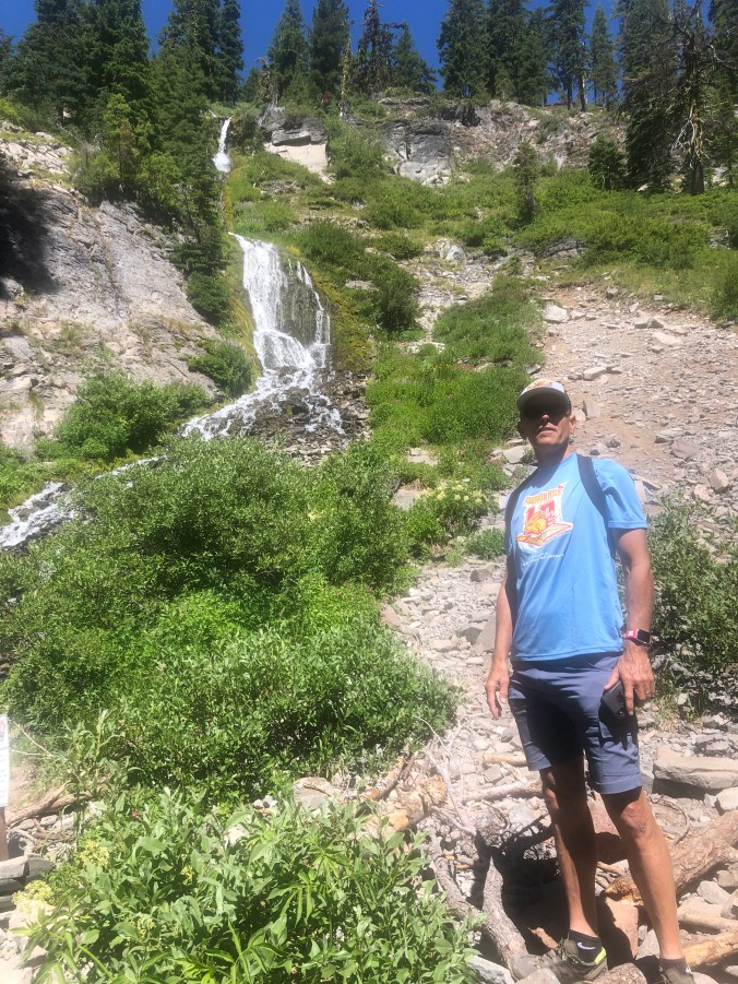
  We also did a short hike, the Castle Crest Wildflower Trail, which featured the annual display of wildflowers that inhabit the area. It was only a half-mile trail, which was fine with us injured travelers.


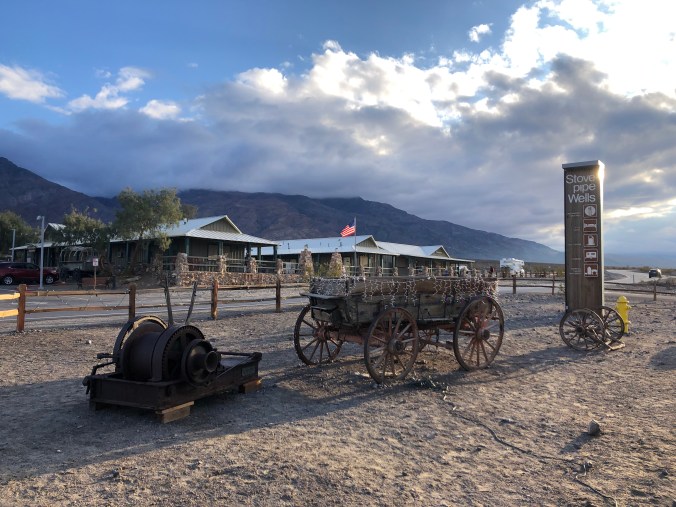 It didn’t really matter though since the power was out half the time we were there. Thank goodness for propane and batteries.
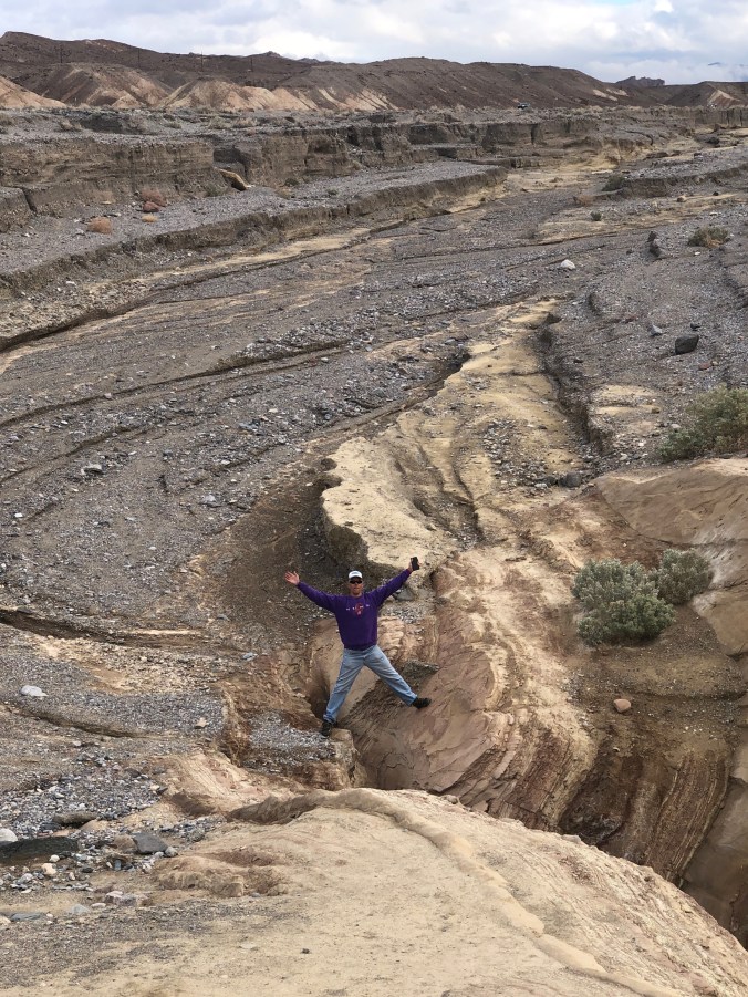
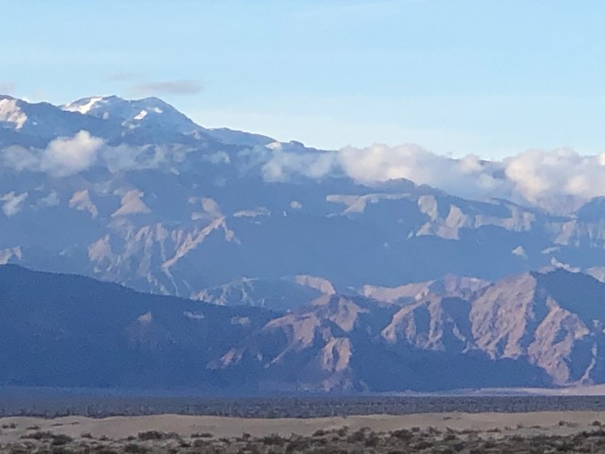
 The surrounding salt flats made for some incredible photos.
 From there we hit Devil’s Golf Course, where it was once said, “even the devil wouldn’t golf here,” because the hardened salt field is so rough and sharp. Even Mia checked it out.


 From there we checked out the Harmony Borax Works exhibit which is set in the ruins of Death Valley’s first successful borax mine.
 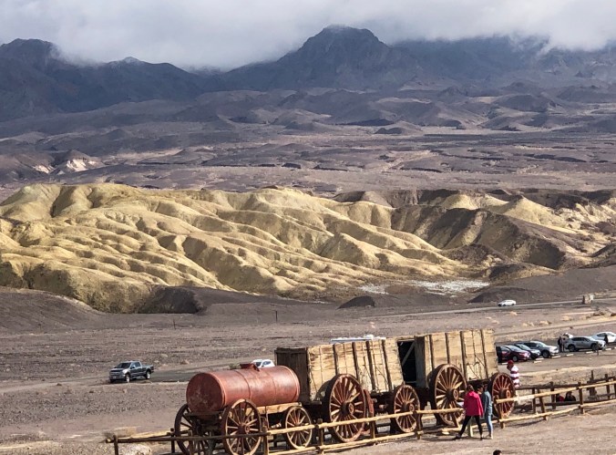 Twenty Mule Team Canyon is a short but thrilling drive on a narrow one-way road through striking badlands.

 On the way back down to sea level we stopped at the iconic Zabriske Point for another view of the landscape.